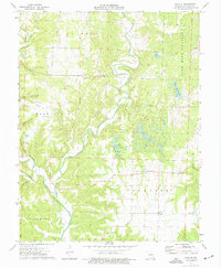
1975 Map of Reform
USGS Topo · Published 1977About this map
Auxvasse Creek meanders through the heart of this mid-1970s landscape, a region defined by agricultural heritage and a burgeoning industrial footprint in central Missouri. Small settlements like Reform and Toledo anchor the community, surrounded by family landmarks and rural institutions such as the Church of God and Holiness Cem. The topography reveals the transition from the upland reaches of Nine Mile Prairie to the hollows of Maddox Hollow and Pace Hollow.
Find a feature on this map
31 named features on this map. Tap any name to fly to it.
Don’t see what you’re looking for? This feature index may not catch every label — zoom into the map to look around manually.
Map Details
Editions of this 1975 Reform Map
2 editions found
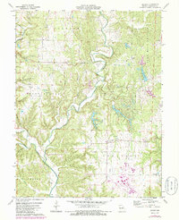
Other maps of this area

1890 · Fulton
USGS Topo · 1:125,000

1928 · Fulton
USGS Topo · 1:62,500

1931 · Fulton
USGS Topo · 1:62,500

1935 · Morrison
USGS Topo · 1:48,000

1940 · Montgomery City
USGS Topo · 1:62,500

1942 · Montgomery City
USGS Topo · 1:62,500

1942 · Morrison
USGS Topo · 1:62,500

1945 · Mokane
USGS Topo · 1:62,500

1945 · Morrison
USGS Topo · 1:62,500

1949 · Saint Louis
USGS Topo · 1:250,000