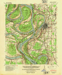
1939 Map of Refuge
USGS Topo · Published 1954About this map
The Mississippi River defines this landscape during a period of massive hydraulic engineering as seen through the Tarpley Cut-Off (1935) and Leland Cut-Off (1933). These man-made channels bypassed traditional bends like Miller Bend and Bachelor Bend, fundamentally altering the waterway to manage flooding. On the Mississippi side, the city of Greenville serves as a major hub, connected by the Yazoo and Mississippi Valley RR and the Yazoo River. The land is dotted with markers of deep history and community, from Indian Mounds near Metcalfe to local congregations at Macedonia Ch and Pilgrims Rest Ch. Across the river in Arkansas, the crescent of Lake Chicot remains as an oxbow remnant of the river's former path, surrounded by smaller settlements like Luna and Shives.
Find a feature on this map
50 named features on this map. Tap any name to fly to it.
Don’t see what you’re looking for? This feature index may not catch every label — zoom into the map to look around manually.
Map Details
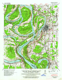
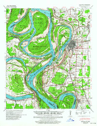
Editions of this 1939 Refuge Map
4 editions found
Other maps of this area

1933 · Lamont
USGS Topo · 1:62,500

1936 · McGehee
USGS Topo · 1:62,500

1936 · Eudora
USGS Topo · 1:62,500

1936 · Lake Village
USGS Topo · 1:62,500

1937 · McGehee
USGS Topo · 1:62,500

1939 · Readland
USGS Topo · 1:62,500

1939 · Refuge
USGS Topo · 1:62,500

1939 · Lamont
USGS Topo · 1:62,500

1939 · Tralake
USGS Topo · 1:62,500

1939 · Choctaw
USGS Topo · 1:62,500