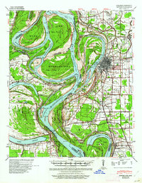
1939 Map of Refuge
USGS Topo · Published 1961About this map
The Mississippi River dominates this landscape, showing a critical transition era where massive engineering projects began to alter its historical course. The map documents significant man-made changes like the Tarpley Cut-Off (1935) and Leland Cut-Off (1933), while still recording the Meander Line 1830 that once defined the state boundary. On the eastern bank, the river city of Greenville serves as a hub for the Yazoo and Mississippi Valley Railroad, which snakes through the delta bottomlands to serve settlements like Metcalfe and Leland.
Find a feature on this map
63 named features on this map. Tap any name to fly to it.
Don’t see what you’re looking for? This feature index may not catch every label — zoom into the map to look around manually.
Map Details
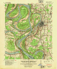
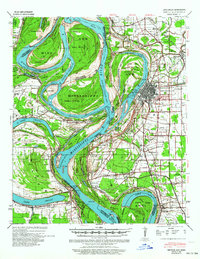
Editions of this 1939 Refuge Map
4 editions found
Other maps of this area

1933 · Lamont
USGS Topo · 1:62,500

1936 · McGehee
USGS Topo · 1:62,500

1936 · Eudora
USGS Topo · 1:62,500

1936 · Lake Village
USGS Topo · 1:62,500

1937 · McGehee
USGS Topo · 1:62,500

1939 · Readland
USGS Topo · 1:62,500

1939 · Refuge
USGS Topo · 1:62,500

1939 · Lamont
USGS Topo · 1:62,500

1939 · Tralake
USGS Topo · 1:62,500

1939 · Choctaw
USGS Topo · 1:62,500