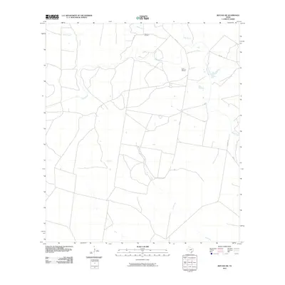
2010 Map of Refugio SW
USGS Topo · Published 2010About this map
Blanconia Oil Field and the South Blanconia Oil Field define the industrial footprint of this portion of Bee County, where energy extraction persists alongside traditional ranching and rural drainage patterns. The landscape is structured by a network of local roads such as Schubert Rd and Collins, which navigate the subtle topography between several major seasonal waterways.
Find a feature on this map
10 named features on this map. Tap any name to fly to it.
Don’t see what you’re looking for? This feature index may not catch every label — zoom into the map to look around manually.
Map Details
Editions of this 2010 Refugio SW Map
This is the sole edition of this map. No revisions or reprints were ever made.
Other maps of this area

1953 · Beeville
USGS Topo · 1:250,000

1954 · Skidmore
USGS Topo · 1:62,500

1954 · Woodsboro
USGS Topo · 1:62,500

1954 · Sinton
USGS Topo · 1:62,500

1954 · Refugio
USGS Topo · 1:62,500

1956 · Beeville
USGS Topo · 1:250,000

1960 · Beeville
USGS Topo · 1:250,000

1978 · Woodsboro
USGS Topo · 1:24,000

1978 · Ryanville
USGS Topo · 1:24,000

1978 · Cranell
USGS Topo · 1:24,000