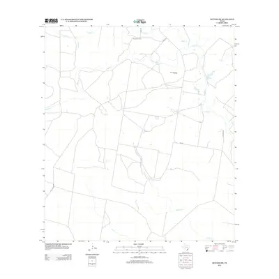
2013 Map of Refugio SW
USGS Topo · Published 2013About this map
The petroleum landscape of Bee County is clearly defined by the Blanconia Oil Field and South Blanconia Oil Field, which dominate the northern and central sections of this survey. These industrial zones are integrated into a rural network of drainage ways and access roads, where Medio Cr meanders through the center of the region. The map captures a moment in the early 21st century when energy extraction and ranching coexisted alongside local thoroughfares like FM 2441 and Schubert Rd. Further south, the terrain is marked by Devils Run, which cuts through a grid of large land parcels. Small-scale features such as Neddy Cr and various unnamed stock tanks emphasize the importance of water management in this cattle-heavy portion of the Texas Coastal Bend.
Find a feature on this map
10 named features on this map. Tap any name to fly to it.
Don’t see what you’re looking for? This feature index may not catch every label — zoom into the map to look around manually.
Map Details
Editions of this 2013 Refugio SW Map
This is the sole edition of this map. No revisions or reprints were ever made.
Other maps of this area

1953 · Beeville
USGS Topo · 1:250,000

1954 · Skidmore
USGS Topo · 1:62,500

1954 · Woodsboro
USGS Topo · 1:62,500

1954 · Sinton
USGS Topo · 1:62,500

1954 · Refugio
USGS Topo · 1:62,500

1956 · Beeville
USGS Topo · 1:250,000

1960 · Beeville
USGS Topo · 1:250,000

1978 · Woodsboro
USGS Topo · 1:24,000

1978 · Ryanville
USGS Topo · 1:24,000

1978 · Cranell
USGS Topo · 1:24,000