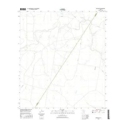
2016 Map of Refugio SW
USGS Topo · Published 2016About this map
Medio Cr winds extensively through the coastal plains of South Texas, defining a landscape of low-lying wetlands and intermittent drainage patterns. This 2016 survey documents the rural boundary between Bee and Refugio counties, a region largely defined by expansive ranch lands and private estates. The hydrology is dominated by the meandering course of the creek and its tributaries, including Neddy Cr in the north and the southern flow of Devils Run. Transportation is limited to a handful of designated routes such as Fm 2441 and Collins, alongside several private and ranch-access roads like Welder Ranch Rd. The map illustrates a contemporary view of this sparsely populated ranching territory, showing the persistent natural watercourses that have governed land use in this part of the state for generations.
Find a feature on this map
10 named features on this map. Tap any name to fly to it.
Don’t see what you’re looking for? This feature index may not catch every label — zoom into the map to look around manually.
Map Details
Editions of this 2016 Refugio SW Map
This is the sole edition of this map. No revisions or reprints were ever made.
Other maps of this area

1953 · Beeville
USGS Topo · 1:250,000

1954 · Skidmore
USGS Topo · 1:62,500

1954 · Woodsboro
USGS Topo · 1:62,500

1954 · Sinton
USGS Topo · 1:62,500

1954 · Refugio
USGS Topo · 1:62,500

1956 · Beeville
USGS Topo · 1:250,000

1960 · Beeville
USGS Topo · 1:250,000

1978 · Woodsboro
USGS Topo · 1:24,000

1978 · Ryanville
USGS Topo · 1:24,000

1978 · Cranell
USGS Topo · 1:24,000