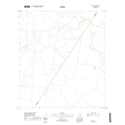
2019 Map of Refugio SW
USGS Topo · Published 2019About this map
Medio Cr winds through the coastal plains along the border of Bee and Refugio counties, defining a landscape of intermittent wetlands and drainage patterns. This 2019 survey documents the rural ranching environment where Neddy Cr and Devils Run feed into the larger creek system. The infrastructure is characterized by long stretches of unpaved and private roads, such as Welder Ranch Rd and Collins, reflecting the area's large-scale landholdings. A diagonal boundary line marks the division between Bee and Refugio counties, while FM 2441 provides the primary north-south transit corridor through this sparsely populated territory. The map illustrates how local topography is shaped primarily by these watercourses and the seasonal wetlands that dot the pastures.
Find a feature on this map
10 named features on this map. Tap any name to fly to it.
Don’t see what you’re looking for? This feature index may not catch every label — zoom into the map to look around manually.
Map Details
Editions of this 2019 Refugio SW Map
This is the sole edition of this map. No revisions or reprints were ever made.
Other maps of this area

1953 · Beeville
USGS Topo · 1:250,000

1954 · Skidmore
USGS Topo · 1:62,500

1954 · Woodsboro
USGS Topo · 1:62,500

1954 · Sinton
USGS Topo · 1:62,500

1954 · Refugio
USGS Topo · 1:62,500

1956 · Beeville
USGS Topo · 1:250,000

1960 · Beeville
USGS Topo · 1:250,000

1978 · Woodsboro
USGS Topo · 1:24,000

1978 · Ryanville
USGS Topo · 1:24,000

1978 · Cranell
USGS Topo · 1:24,000