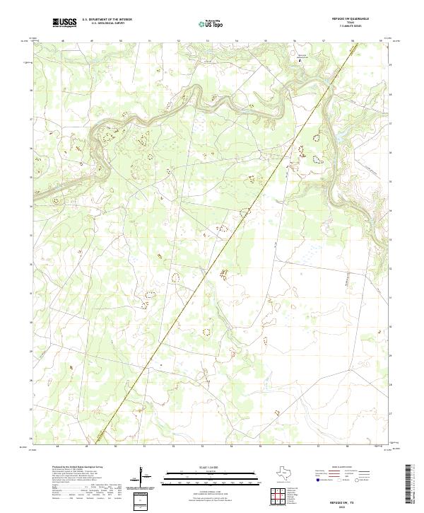
2022 Map of Refugio SW
USGS Topo · Published 2022About this map
The winding course of Medio Cr and Neddy Cr defines this South Texas landscape along the Bee and Refugio County line. Modern rural life here centers on long-established ranching interests, evidenced by several family-named corridors such as Allison Ranch RD and Welder Ranch RD. Near the northern boundary, the Blanconia Methodist Cem serves as a vital anchor for local genealogists and historians tracking early settlers in this coastal plain region. The terrain is characterized by meandering watercourses and intermittent drainages like Devils Run, which dictate the placement of local connectors like S FM 2441 and Co RD 422.
Find a feature on this map
13 named features on this map. Tap any name to fly to it.
Don’t see what you’re looking for? This feature index may not catch every label — zoom into the map to look around manually.
Map Details
Editions of this 2022 Refugio SW Map
This is the sole edition of this map. No revisions or reprints were ever made.
Other maps of this area

1953 · Beeville
USGS Topo · 1:250,000

1954 · Skidmore
USGS Topo · 1:62,500

1954 · Woodsboro
USGS Topo · 1:62,500

1954 · Sinton
USGS Topo · 1:62,500

1954 · Refugio
USGS Topo · 1:62,500

1956 · Beeville
USGS Topo · 1:250,000

1960 · Beeville
USGS Topo · 1:250,000

1978 · Woodsboro
USGS Topo · 1:24,000

1978 · Ryanville
USGS Topo · 1:24,000

1978 · Cranell
USGS Topo · 1:24,000