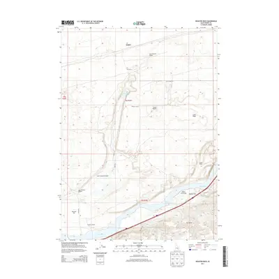
2013 Map of Register Rock
USGS Topo · Published 2013About this map
Register Rock serves as a central landmark in this Power County landscape, situated near the banks of the Snake River. The terrain is defined by the winding course of the river as it feeds into Lake Walcott, flanked by distinct geological formations like Lake Channel Canyon and the curiously named Janies Nipples. This 2013 survey illustrates a rural environment where named fields and bars, such as Frymier Field and Bonanza Bar, suggest a history of agricultural and riparian use. The presence of the Register Rock State Picnic Ground indicates the area's significance for local recreation and historical marking. Smaller water features like Morgans Waterhole and Bonanza Lake are scattered across the higher ground of Cedar Ridge, connected by a network of rural routes including Quigley Rd and Bonanza Lake Rd.
Find a feature on this map
29 named features on this map. Tap any name to fly to it.
Don’t see what you’re looking for? This feature index may not catch every label — zoom into the map to look around manually.
Map Details
Editions of this 2013 Register Rock Map
This is the sole edition of this map. No revisions or reprints were ever made.
Other maps of this area

1934 · American Falls
USGS Topo · 1:62,500

1934 · Rockland
USGS Topo · 1:62,500

1936 · American Falls
USGS Topo · 1:62,500

1937 · Rockland
USGS Topo · 1:62,500

1954 · Pocatello
USGS Topo · 1:250,000

1958 · Pocatello
USGS Topo · 1:250,000

1959 · Yale
USGS Topo · 1:62,500
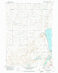
1971 · American Falls SW
USGS Topo · 1:24,000
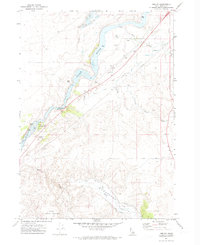
1971 · Neeley
USGS Topo · 1:24,000

1971 · Rockland West
USGS Topo · 1:24,000