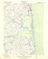
1918 Map of Rehoboth
USGS Topo · Published 1918About this map
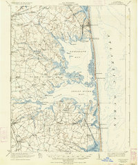
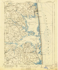
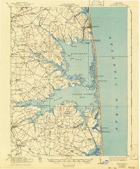
Rehoboth Bay and Indian River Bay dominate this coastal survey, showing the Delaware shoreline before the extensive modern development of the late 20th century. The landscape is defined by a series of distinct necks, including Indian River Neck, Long Neck, and Cedar Neck, which reach into the shallow inland waters. At this time, the barrier beach is a thin strip of sand marked by multiple Coast Guard Stations protecting the treacherous stretch near the Indian River Inlet.
Find a feature on this map
86 named features on this map. Tap any name to fly to it.
Don’t see what you’re looking for? This feature index may not catch every label — zoom into the map to look around manually.
Map Details
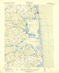
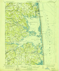
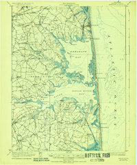
Editions of this 1918 Rehoboth Map
8 editions found
Other maps of this area

1888 · Cape May
USGS Topo · 1:62,500

1893 · Cape May
USGS Topo · 1:62,500

1898 · Cape May
USGS Topo · 1:62,500

1901 · Ocean City
USGS Topo · 1:62,500

1902 · Pittsville
USGS Topo · 1:62,500

1917 · Millsboro
USGS Topo · 1:62,500

1918 · Cedar Creek
USGS Topo · 1:62,500

1918 · Rehoboth
USGS Topo · 1:62,500

1918 · Cape Henlopen
USGS Topo · 1:62,500

1918 · Cape May
USGS Topo · 1:62,500