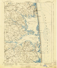
1918 Map of Rehoboth
USGS Topo · Published 1940About this map
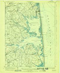
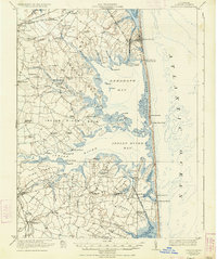
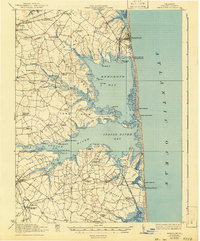
The coastal landscapes of Sussex County are captured here just after the First World War, revealing a region defined by intricate tidal inlets and rural school districts. Broad estuaries like Rehoboth Bay and Indian River Bay dominate the center of the sheet, framed by numerous family-named necks of land such as Indian River Neck and Champlin Neck. The settlement pattern is markedly agrarian, with small communities like Angola and Clarksville connected by early roads, while the Lewes and Georgetown railroad cuts through the northwestern corner near Jimtown. Local life is anchored by a dense network of country schoolhouses, including the Sunshine School and Antioch School. Along the coast, Coast Guard stations monitor the shoreline from Dewey Beach down to Bethany Beach, marking the early era of maritime safety before the heavy development of the Atlantic resorts.
Find a feature on this map
85 named features on this map. Tap any name to fly to it.
Don’t see what you’re looking for? This feature index may not catch every label — zoom into the map to look around manually.
Map Details
Editions of this 1918 Rehoboth Map
8 editions found
Other maps of this area

1888 · Cape May
USGS Topo · 1:62,500

1893 · Cape May
USGS Topo · 1:62,500

1898 · Cape May
USGS Topo · 1:62,500

1901 · Ocean City
USGS Topo · 1:62,500

1902 · Pittsville
USGS Topo · 1:62,500

1917 · Millsboro
USGS Topo · 1:62,500

1918 · Cedar Creek
USGS Topo · 1:62,500

1918 · Rehoboth
USGS Topo · 1:62,500

1918 · Cape Henlopen
USGS Topo · 1:62,500

1918 · Cape May
USGS Topo · 1:62,500