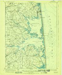
1918 Map of Rehoboth
USGS Topo · Published 1928About this map
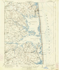
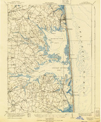
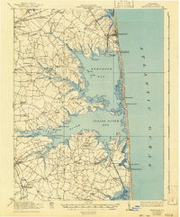
Coastal Sussex County in 1917 is defined by a complex geography of tidal necks and shallow bays, where the Atlantic Ocean meets the labyrinthine shores of Rehoboth Bay and Indian River Bay. The landscape is segmented into distinct necks such as Indian River Neck, Angola Neck, and Cedar Neck, each supporting small farming and fishing communities. Early 20th-century life centered around a network of one-room schools like Sunshine School and Cedar Grove School, and local social centers such as Grange Hall.
Find a feature on this map
83 named features on this map. Tap any name to fly to it.
Don’t see what you’re looking for? This feature index may not catch every label — zoom into the map to look around manually.
Map Details
Editions of this 1918 Rehoboth Map
8 editions found
Other maps of this area

1888 · Cape May
USGS Topo · 1:62,500

1893 · Cape May
USGS Topo · 1:62,500

1898 · Cape May
USGS Topo · 1:62,500

1901 · Ocean City
USGS Topo · 1:62,500

1902 · Pittsville
USGS Topo · 1:62,500

1917 · Millsboro
USGS Topo · 1:62,500

1918 · Cedar Creek
USGS Topo · 1:62,500

1918 · Rehoboth
USGS Topo · 1:62,500

1918 · Cape Henlopen
USGS Topo · 1:62,500

1918 · Cape May
USGS Topo · 1:62,500