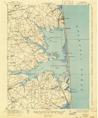
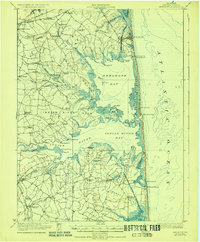
1918 Map of Rehoboth
USGS Topo · Published 1943About this map
The Atlantic coastline of Sussex County is defined by its massive estuaries and the narrow barrier beach that separates them from the ocean. Near the Pennsylvania RR line, the burgeoning resort of Rehoboth sits north of Silver Lake, while the Assawoman Canal cuts through the lowlands to the south near Bethany Beach. Inland, the landscape is a complex of peninsulas known as necks, including Long Neck and White Neck, where agriculture and maritime life intersect.
Find a feature on this map
85 named features on this map. Tap any name to fly to it.
Don’t see what you’re looking for? This feature index may not catch every label — zoom into the map to look around manually.
Map Details
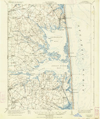
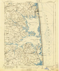
Editions of this 1918 Rehoboth Map
8 editions found
Other maps of this area

1888 · Cape May
USGS Topo · 1:62,500

1893 · Cape May
USGS Topo · 1:62,500

1898 · Cape May
USGS Topo · 1:62,500

1901 · Ocean City
USGS Topo · 1:62,500

1902 · Pittsville
USGS Topo · 1:62,500

1917 · Millsboro
USGS Topo · 1:62,500

1918 · Cedar Creek
USGS Topo · 1:62,500

1918 · Rehoboth
USGS Topo · 1:62,500

1918 · Cape Henlopen
USGS Topo · 1:62,500

1918 · Cape May
USGS Topo · 1:62,500