
1918 Map of Rehoboth
USGS Topo · Published 1918About this map
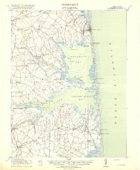
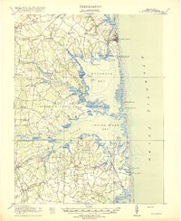
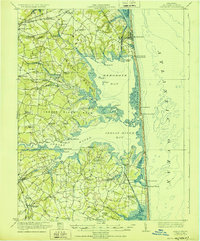
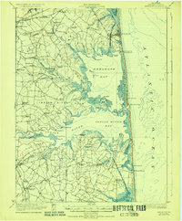
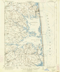
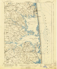
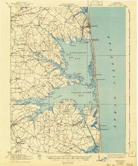
The Sussex County coastline is defined by the expansive waters of Rehoboth Bay and Indian River Bay, separated from the Atlantic Ocean by a narrow barrier strand. During this era, small inland agricultural settlements and rural schoolhouses like Yellow Hill School and Eldorado School suggest a landscape still largely focused on farming and local trade rather than large-scale tourism. Coastal communities such as Rehoboth Beach and Bethany Beach appear in their earlier forms, linked by the Assawoman Canal and monitored by several Coast Guard Sta positions along the shore.
Find a feature on this map
77 named features on this map. Tap any name to fly to it.
Don’t see what you’re looking for? This feature index may not catch every label — zoom into the map to look around manually.
Map Details
Editions of this 1918 Rehoboth Map
8 editions found
Other maps of this area

1888 · Cape May
USGS Topo · 1:62,500

1893 · Cape May
USGS Topo · 1:62,500

1898 · Cape May
USGS Topo · 1:62,500

1901 · Ocean City
USGS Topo · 1:62,500

1902 · Pittsville
USGS Topo · 1:62,500

1917 · Millsboro
USGS Topo · 1:62,500

1918 · Cedar Creek
USGS Topo · 1:62,500

1918 · Cape Henlopen
USGS Topo · 1:62,500

1918 · Cape May
USGS Topo · 1:62,500

1919 · Cedar Creek
USGS Topo · 1:62,500