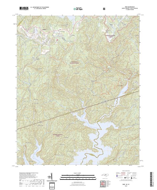
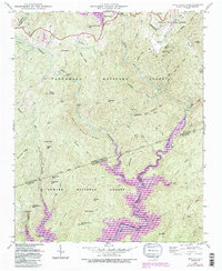
2022 Map of Reid
USGS Topo · Published 2022About this map
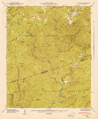
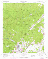
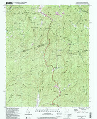
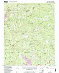
Lake Jocassee sits at the southern edge of this study, where the waters of the Blue Ridge Escarpment gather at the border of North and South Carolina. This high-country landscape is defined by the Tennessee Valley Divide and the dramatic descent of river systems, featuring numerous cascades including Whitewater Falls, Rainbow Falls, and Toxaway Falls. These waterways cut through the preserved lands of the Nantahala National Forest, Pisgah National Forest, and Sumter National Forest. The map documents the scattered high-elevation settlements of Oakland, Union, and Reid, the latter of which includes the Reid Cem near the Hogback Valley. The terrain is characterized by sharp ridgelines like Narrow Rock Ridge and Grassy Ridge, while historic paths such as the Foothills Trl and Auger Hole Trl navigate the gaps between Crossroads Mtn and Chestnut Mtn.
Find a feature on this map
101 named features on this map. Tap any name to fly to it.
Don’t see what you’re looking for? This feature index may not catch every label — zoom into the map to look around manually.
Map Details
Editions of this 2022 Reid Map
This is the sole edition of this map. No revisions or reprints were ever made.
Historical Maps of Oakland Through Time
25 maps found

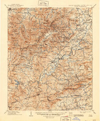
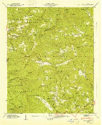
1905 Pisgah
Transylvania County, NC
1906 Pisgah
Transylvania County, NC

1935 Eastatoe Gap
Transylvania County, NC

1935 Lake Toxaway
Transylvania County, NC

1935 Pisgah Forest
Transylvania County, NC

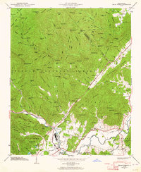
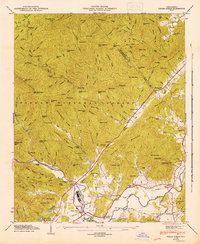
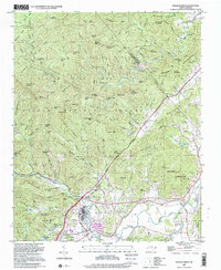
1935 Reid
Transylvania County, NC

1935 Shining Rock
Transylvania County, NC
1945 Pisgah Forest
Transylvania County, NC
1946 Lake Toxaway
Transylvania County, NC
1946 Pisgah Forest
Transylvania County, NC
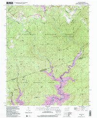
1946 Reid
Transylvania County, NC
1946 Shining Rock
Transylvania County, NC
1947 Lake Toxaway
Transylvania County, NC
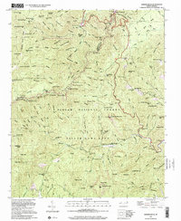
1947 Reid
Transylvania County, NC
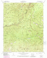
1965 Pisgah Forest
Transylvania County, NC
1997 Eastatoe Gap
Transylvania County, NC
1997 Lake Toxaway
Transylvania County, NC
1997 Pisgah Forest
Transylvania County, NC
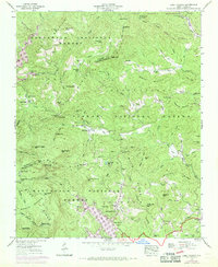
1997 Reid
Transylvania County, NC
1997 Shining Rock
Transylvania County, NC
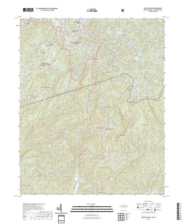
2022 Eastatoe Gap
Transylvania County, NC
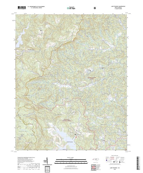
2022 Lake Toxaway
Transylvania County, NC
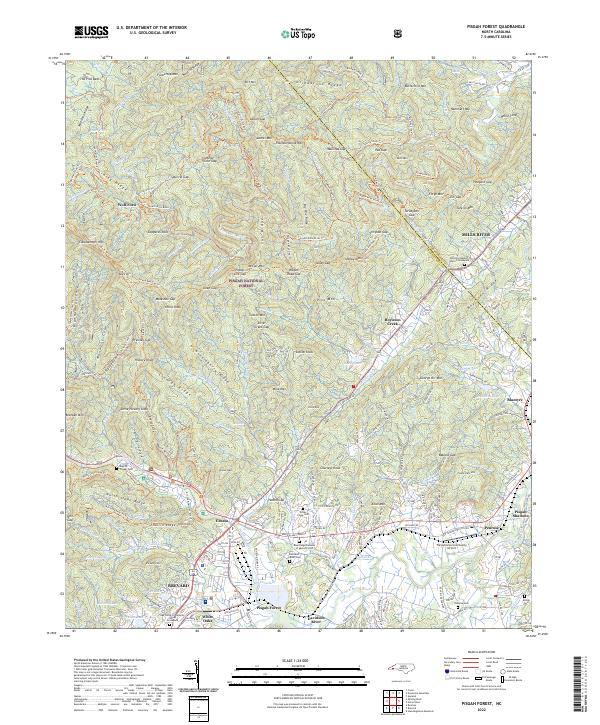
2022 Pisgah Forest
Transylvania County, NC
2022 Reid
Transylvania County, NC
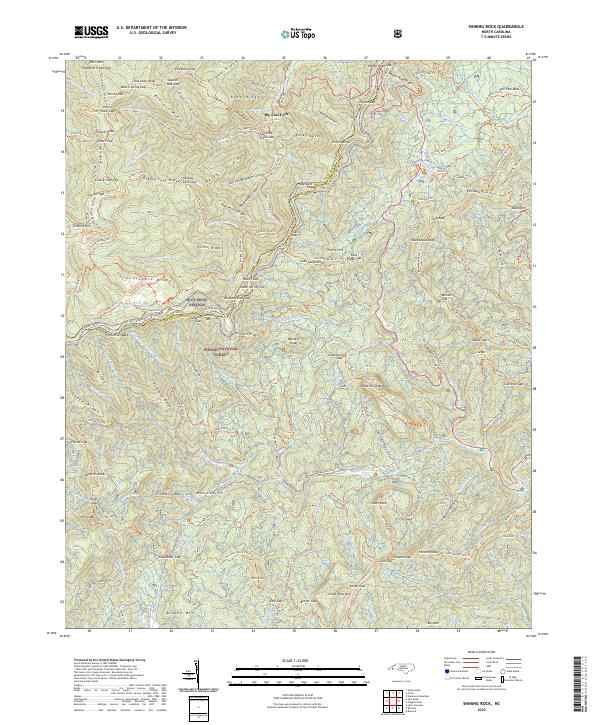
2022 Shining Rock
Transylvania County, NC