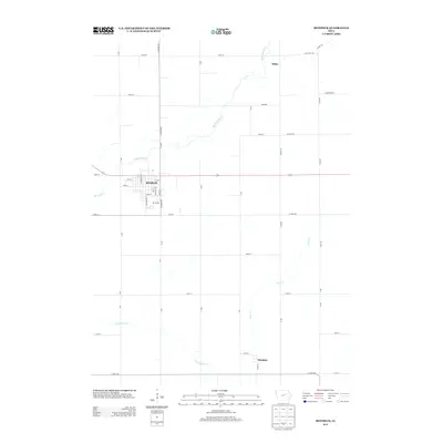
2013 Map of Reinbeck
USGS Topo · Published 2013About this map
The agricultural town of Reinbeck serves as the primary hub of this Iowa landscape, centered at the intersection of Iowa Highway 175 and Commercial St. The town's grid is well-defined by local thoroughfares such as Park St, Cedar St, and Hillcrest Dr, reflecting the typical organized growth of a Midwestern farming community. The surrounding countryside is divided by a rigid section-line road network, including V Ave and 270th St, which frame the productive fields of Grundy County.
Find a feature on this map
49 named features on this map. Tap any name to fly to it.
Don’t see what you’re looking for? This feature index may not catch every label — zoom into the map to look around manually.
Map Details
Editions of this 2013 Reinbeck Map
This is the sole edition of this map. No revisions or reprints were ever made.
Other maps of this area

1954 · Waterloo
USGS Topo · 1:250,000

1955 · Waterloo
USGS Topo · 1:250,000

1963 · Buckingham
USGS Topo · 1:24,000

1963 · Hudson
USGS Topo · 1:24,000

1971 · Gladbrook NE
USGS Topo · 1:24,000

1971 · Zaneta
USGS Topo · 1:24,000

1971 · Dike
USGS Topo · 1:24,000

1971 · Lincoln
USGS Topo · 1:24,000

1971 · Traer
USGS Topo · 1:24,000

1971 · Reinbeck
USGS Topo · 1:24,000