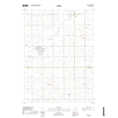
2018 Map of Reinbeck
USGS Topo · Published 2018About this map
Reinbeck serves as the primary hub of this eastern Iowa landscape, situated at the junction of Grundy Ave and Main St. The town is well-documented with local landmarks, including the Reinbeck City Cem and the small airfield at Koch Field to the northeast. The surrounding agricultural land is divided by a series of waterways, notably Black Hawk Creek and Twelvemile Cr, which flow through the undulating terrain of Grundy and Tama counties.
Find a feature on this map
46 named features on this map. Tap any name to fly to it.
Don’t see what you’re looking for? This feature index may not catch every label — zoom into the map to look around manually.
Map Details
Editions of this 2018 Reinbeck Map
This is the sole edition of this map. No revisions or reprints were ever made.
Other maps of this area

1954 · Waterloo
USGS Topo · 1:250,000

1955 · Waterloo
USGS Topo · 1:250,000

1963 · Buckingham
USGS Topo · 1:24,000

1963 · Hudson
USGS Topo · 1:24,000

1971 · Gladbrook NE
USGS Topo · 1:24,000

1971 · Zaneta
USGS Topo · 1:24,000

1971 · Dike
USGS Topo · 1:24,000

1971 · Lincoln
USGS Topo · 1:24,000

1971 · Traer
USGS Topo · 1:24,000

1971 · Reinbeck
USGS Topo · 1:24,000