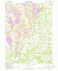
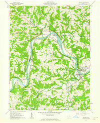
1961 Map of Reinersville
USGS Topo · Published 1977About this map
Strip Mines dominate the high ridges of Morgan County in this mid-century survey, revealing a landscape defined by heavy extraction. Extensive earth-moving activity is concentrated near Bristol and throughout the northern reaches of the quadrangle, particularly around Brannons Fork and Sugartree Run. These industrial scars contrast with the traditional rural settlement patterns of the 1960s, where small hamlets like Reinersville and Hackney remained anchored by local institutions.
Find a feature on this map
54 named features on this map. Tap any name to fly to it.
Don’t see what you’re looking for? This feature index may not catch every label — zoom into the map to look around manually.
Map Details
Editions of this 1961 Reinersville Map
4 editions found
Other maps of this area

1909 · Caldwell
USGS Topo · 1:62,500

1910 · Philo
USGS Topo · 1:62,500

1910 · Mc Connelsville
USGS Topo · 1:62,500

1911 · Cumberland
USGS Topo · 1:62,500

1912 · Caldwell
USGS Topo · 1:62,500

1949 · Clarksburg
USGS Topo · 1:250,000

1956 · Clarksburg
USGS Topo · 1:250,000

1961 · Clarksburg
USGS Topo · 1:250,000
1961 · Beverly
USGS Topo · 1:24,000

1961 · Mc Connelsville
USGS Topo · 1:24,000