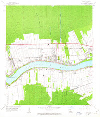
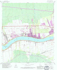
1962 Map of Reserve
USGS Topo · Published 1963About this map
The Mississippi River defines this river parish landscape, where long-lot land divisions stretch back from the Levee in a pattern reflecting colonial-era agricultural settlement. The 1960s riverfront is dominated by several named estates, including San Francisco Plantation, Terre Haute Plantation, and Belle Point Plantation, illustrating the enduring spatial organization of the sugar coast. Heavy industrial and transport infrastructure supports these riverside communities, with the Kansas City Southern, Illinois Central, and Texas and Pacific railroads paralleling the river banks to serve towns like Garyville, Reserve, and Edgard. Beyond the developed strips of the natural levees, the map reveals the transition into the swampy lowlands of Dutch Bayou and Bayou Fortier, while local civic life is anchored by landmarks such as the Second Ward Sch and the Bishop Cem.
Find a feature on this map
33 named features on this map. Tap any name to fly to it.
Don’t see what you’re looking for? This feature index may not catch every label — zoom into the map to look around manually.
Map Details
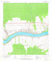
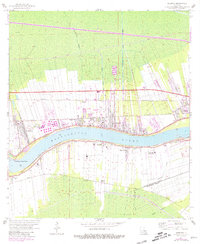
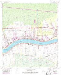
Editions of this 1962 Reserve Map
5 editions found
Other maps of this area

1891 · Hahnville
USGS Topo · 1:62,500

1892 · Lac Des Allemands
USGS Topo · 1:62,500

1892 · Mount Airy
USGS Topo · 1:62,500

1892 · Bonnet Carre
USGS Topo · 1:62,500

1932 · Lac Des Allemands NW
USGS Topo · 1:31,680

1932 · Hahnville NW
USGS Topo · 1:31,680

1932 · Lac Des Allemands NE
USGS Topo · 1:31,680

1935 · Laplace
USGS Topo · 1:31,680

1936 · Hahnville
USGS Topo · 1:31,680

1936 · Ruddock
USGS Topo · 1:31,680