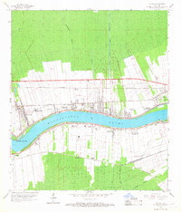
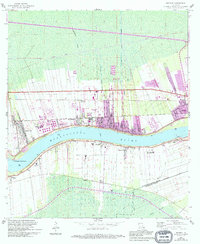
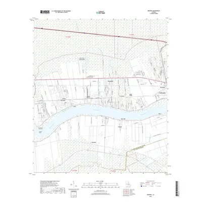
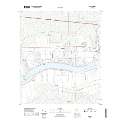
1962 Map of Reserve
USGS Topo · Published 1968About this map
The Mississippi River creates a distinctive serpentine corridor through the sugar parishes of Louisiana in this early 1960s survey. The landscape is defined by long, narrow land grants extending from the riverbanks back into the swampy lowlands, a pattern traced by watercourses like the Reserve Relief Canal and Godchaux Canal. A series of historic riverfront estates, including San Francisco Plantation, Terre Haute Plantation, and Belle Point Plantation, line the north bank, while the south bank features Columbia Plantation and Gold Mine Plantation. This era shows the convergence of traditional river life and industrial transport, with the Illinois Central and Kansas City Southern railroads paralleling the river. Small settlements and local landmarks like Lions, Tigerville, and the Second Ward Sch provide valuable detail for genealogists researching families from St. John the Baptist Parish.
Find a feature on this map
35 named features on this map. Tap any name to fly to it.
Don’t see what you’re looking for? This feature index may not catch every label — zoom into the map to look around manually.
Map Details
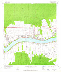
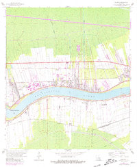
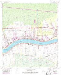
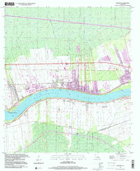
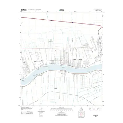
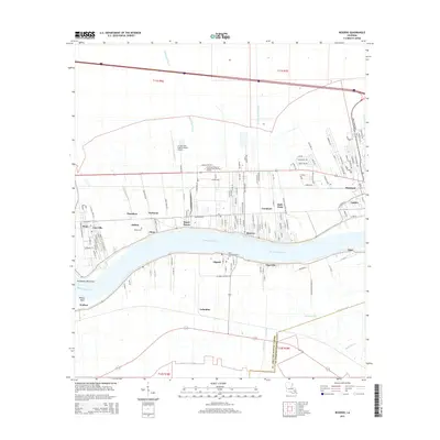
Editions of this 1962 Reserve Map
5 editions found
Historical Maps of Dutch Bayou Through Time
7 maps found
1962 Reserve
St. John the Baptist Parish, LA
1999 Reserve
St. John the Baptist Parish, LA
2012 Reserve
St. John the Baptist Parish, LA
2015 Reserve
St. John the Baptist Parish, LA
2018 Reserve
St. John the Baptist Parish, LA
2020 Reserve
St. John the Baptist Parish, LA
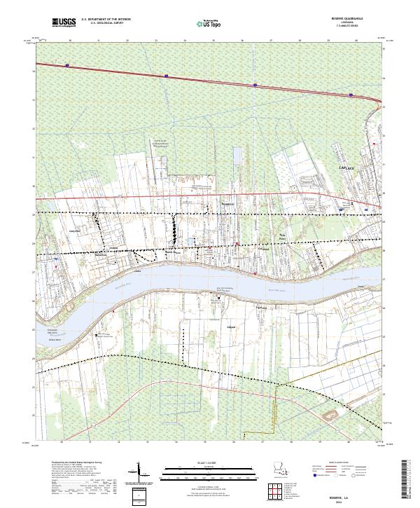
2024 Reserve
St. John the Baptist Parish, LA