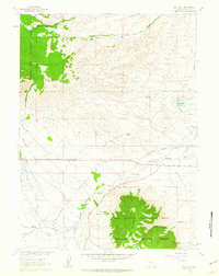
1961 Map of Rex Lake
USGS Topo · Published 1963About this map
The Rex Lake Oil Field and the surrounding high plains of Centennial Valley characterize this 1961 survey of Albany County. The landscape is defined by the resource and agricultural management of the era, from the industrial presence of the Union Pacific line to an intricate network of irrigation channels like the Bellamy Ditch and Adams Ditch. These waterways draw from the Little Laramie River to support the basin's ranching interests.
Find a feature on this map
28 named features on this map. Tap any name to fly to it.
Don’t see what you’re looking for? This feature index may not catch every label — zoom into the map to look around manually.
Map Details
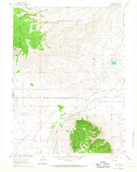
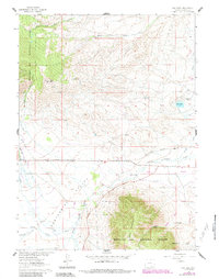
Editions of this 1961 Rex Lake Map
3 editions found
Other maps of this area

1895 · Laramie
USGS Topo · 1:125,000

1902 · Laramie
USGS Topo · 1:125,000

1905 · Laramie
USGS Topo · 1:125,000

1906 · Medicine Bow
USGS Topo · 1:125,000

1906 · Laramie
USGS Topo · 1:125,000

1908 · Laramie
USGS Topo · 1:125,000

1908 · Medicine Bow
USGS Topo · 1:125,000

1954 · Cheyenne
USGS Topo · 1:250,000

1954 · Rawlins
USGS Topo · 1:250,000

1958 · Rawlins
USGS Topo · 1:250,000