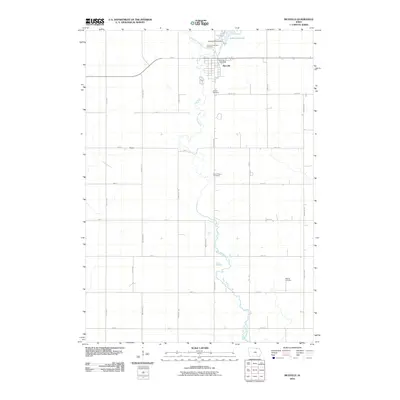
2010 Map of Riceville
USGS Topo · Published 2010About this map
Riceville serves as the primary hub of this northern Iowa landscape, situated where the Wapsipinicon River and Watsons Creek converge. The town's grid is anchored by the Riceville Post Office and sits just south of the recreational area formed by Lake Hendricks and the Lake Hendricks Dam. Outside the main settlement, the land is organized by a strict cardinal grid of rural roads, including HWY 9, Valley Ave, and Birch Ave, reflecting the region's agricultural foundations.
Find a feature on this map
36 named features on this map. Tap any name to fly to it.
Don’t see what you’re looking for? This feature index may not catch every label — zoom into the map to look around manually.
Map Details
Editions of this 2010 Riceville Map
This is the sole edition of this map. No revisions or reprints were ever made.
Other maps of this area

1954 · Mason City
USGS Topo · 1:250,000

1957 · Mason City
USGS Topo · 1:250,000

1958 · Mason City
USGS Topo · 1:250,000

1971 · Colwell
USGS Topo · 1:24,000

1971 · Floyd
USGS Topo · 1:24,000

1972 · Mc Intire
USGS Topo · 1:24,000

1972 · Little Cedar
USGS Topo · 1:24,000

1972 · New Haven
USGS Topo · 1:24,000

1972 · Riceville
USGS Topo · 1:24,000

1972 · Elma
USGS Topo · 1:24,000