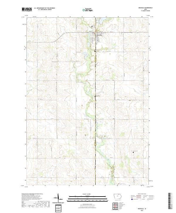
2022 Map of Riceville
USGS Topo · Published 2022About this map
Riceville serves as the central hub of this agricultural landscape, situated along the county line between Mitchell Co Howard Co. The community is defined by its grid of streets, including W Main St and E Main St, which facilitate movement through the town's northern reaches. The Wapsipinicon River meanders south through the center of the region, providing a primary drainage corridor for the surrounding farmland and feeding into Sleeping Duck Pond. This area is particularly significant for genealogical research, as it preserves the locations of several burial grounds, including Riverside Cem north of town, Calvary Cem, and Reckner Cem to the southeast. The rural landscape is partitioned by a strictly rectangular road network of avenues and numbered streets, such as Valley Ave and Birch Ave, reflecting the enduring township-and-range surveying system of northern Iowa.
Find a feature on this map
41 named features on this map. Tap any name to fly to it.
Don’t see what you’re looking for? This feature index may not catch every label — zoom into the map to look around manually.
Map Details
Editions of this 2022 Riceville Map
This is the sole edition of this map. No revisions or reprints were ever made.
Other maps of this area

1954 · Mason City
USGS Topo · 1:250,000

1957 · Mason City
USGS Topo · 1:250,000

1958 · Mason City
USGS Topo · 1:250,000

1971 · Colwell
USGS Topo · 1:24,000

1971 · Floyd
USGS Topo · 1:24,000

1972 · Mc Intire
USGS Topo · 1:24,000

1972 · Little Cedar
USGS Topo · 1:24,000

1972 · New Haven
USGS Topo · 1:24,000

1972 · Riceville
USGS Topo · 1:24,000

1972 · Elma
USGS Topo · 1:24,000