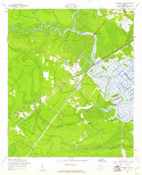
1958 Map of Richmond Hill
USGS Topo · Published 1961About this map
The Ogeechee River and Canoochee River define this coastal Georgia landscape, where tidal marshes and expansive wetlands like Lost Swamp dominate the topography. Near the town of Richmond Hill, the legacy of 20th-century agriculture and research is evident at the U.S. Dept of Agriculture Plant Introduction Garden and a local Fish Hatchery. The map documents a transition from river-based activity to rail and road, as the Seaboard Air Line and Atlantic Coast Line railroads cut through the timbered swamps and old plantations.
Find a feature on this map
57 named features on this map. Tap any name to fly to it.
Don’t see what you’re looking for? This feature index may not catch every label — zoom into the map to look around manually.
Map Details
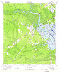
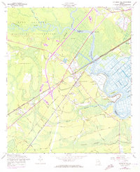
Editions of this 1958 Richmond Hill Map
3 editions found
Other maps of this area

1920 · Meldrim
USGS Topo · 1:62,500

1920 · Limerick
USGS Topo · 1:62,500

1942 · Meldrim
USGS Topo · 1:62,500

1942 · Savannah
USGS Topo · 1:62,500

1944 · Limerick
USGS Topo · 1:62,500

1944 · Ossabaw Island
USGS Topo · 1:62,500

1945 · Ossabaw Island
USGS Topo · 1:62,500

1946 · Brunswick
USGS Topo · 1:250,000

1947 · Savannah
USGS Topo · 1:250,000

1948 · Brunswick
USGS Topo · 1:250,000