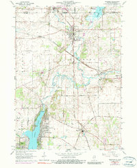
1963 Map of Richmond
USGS Topo · Published 1990About this map
Wonder Lake and the village of Richmond anchor this survey of the Illinois-Wisconsin borderlands in the early 1960s. The landscape is defined by the winding course of Nippersink Creek and its north branch, which feed into the developed shores of the lake near Sunrise Ridge. The rail network of the era remains prominent, with the Chicago and North Western and the Chicago Milwaukee St Paul and Pacific railroads intersecting near the state line. Genealogists will find valuable local landmarks such as Washington Cem, St Joseph Cem, and Carr-Harrison Cem near the settlement of Ringwood. Small communities like Solon Mills and Belden are shown alongside infrastructure such as Galt Airport and the Harrison Sch, reflecting a mid-century period of rural stability and emerging lakeside recreation.
Find a feature on this map
44 named features on this map. Tap any name to fly to it.
Don’t see what you’re looking for? This feature index may not catch every label — zoom into the map to look around manually.
Map Details
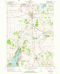
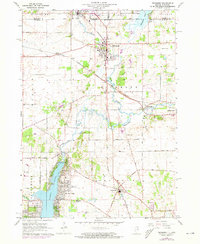
Editions of this 1963 Richmond Map
3 editions found
Other maps of this area

1893 · Silver Lake
USGS Topo · 1:62,500

1893 · Geneva
USGS Topo · 1:62,500

1904 · Lake Geneva
USGS Topo · 1:62,500

1906 · Silver Lake
USGS Topo · 1:62,500

1906 · Lake Geneva
USGS Topo · 1:62,500

1920 · Grays Lake
USGS Topo · 1:62,500

1923 · Grays Lake
USGS Topo · 1:62,500

1926 · Mc Henry
USGS Topo · 1:62,500

1944 · McHenry
USGS Topo · 1:62,500

1954 · Rockford
USGS Topo · 1:250,000