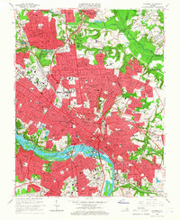
1964 Map of Richmond
USGS Topo · Published 1966About this map
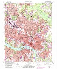
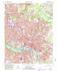
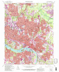
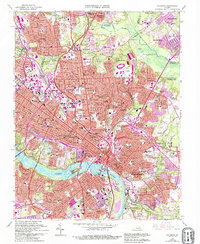
The James River anchors this mid-1960s study of Virginia's capital, where the city's historic core meets the expanding suburbs of Henrico and Chesterfield counties. Industrial and rail infrastructure dominates the riverfront, with the Southern and Atlantic Coast Line railroads navigating the complex terrain around Belle Isle and Mayos Island. Modern transportation is represented by the Richmond-Petersburg Turnpike slicing through the urban grid, while the city's civic identity remains centered on the State Capitol and the Medical College of Virginia. Local history and genealogy are deeply embedded in the extensive cemetery lands, including the riverside Hollywood Cemetery and the sprawling Oakwood Cemetery. The map also captures the green belts preserved at Joseph Bryan Park and the Chickahominy Bluffs, documenting the tension between preservation and post-war suburban growth in neighborhoods like Ginter Park and Windsor Farms.
Find a feature on this map
84 named features on this map. Tap any name to fly to it.
Don’t see what you’re looking for? This feature index may not catch every label — zoom into the map to look around manually.
Map Details
Editions of this 1964 Richmond Map
8 editions found
Other maps of this area

1890 · Goochland
USGS Topo · 1:125,000

1892 · Goochland
USGS Topo · 1:125,000

1894 · Bermuda Hundred
USGS Topo · 1:62,500

1894 · Richmond
USGS Topo · 1:62,500

1895 · Richmond
USGS Topo · 1:62,500

1897 · Amelia
USGS Topo · 1:125,000

1934 · Seven Pines
USGS Topo · 1:24,000

1934 · Richmond
USGS Topo · 1:24,000

1936 · Richmond West
USGS Topo · 1:24,000

1936 · Glen Allen
USGS Topo · 1:24,000