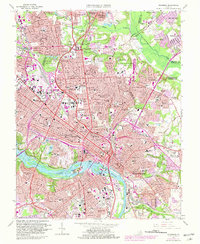
1964 Map of Richmond
USGS Topo · Published 1981About this map
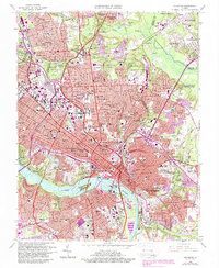
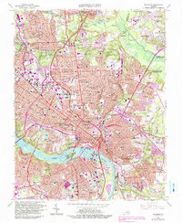
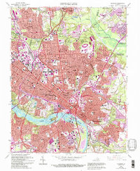
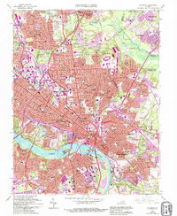
James River frontage and the evolving urban core of the Virginia state capital define this mid-century topographic record. The map details the dense convergence of the Southern, Chesapeake and Ohio, and Seaboard Coast Line railroads that historically powered the local economy. Beyond the commercial center, the sheet preserves the locations of numerous institutional landmarks, from the sprawling Medical College of Virginia and Virginia Commonwealth University to the State Capitol and the Coliseum.
Find a feature on this map
123 named features on this map. Tap any name to fly to it.
Don’t see what you’re looking for? This feature index may not catch every label — zoom into the map to look around manually.
Map Details
Editions of this 1964 Richmond Map
8 editions found
Other maps of this area

1890 · Goochland
USGS Topo · 1:125,000

1892 · Goochland
USGS Topo · 1:125,000

1894 · Bermuda Hundred
USGS Topo · 1:62,500

1894 · Richmond
USGS Topo · 1:62,500

1895 · Richmond
USGS Topo · 1:62,500

1897 · Amelia
USGS Topo · 1:125,000

1934 · Seven Pines
USGS Topo · 1:24,000

1934 · Richmond
USGS Topo · 1:24,000

1936 · Richmond West
USGS Topo · 1:24,000

1936 · Glen Allen
USGS Topo · 1:24,000