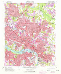
1964 Map of Richmond
USGS Topo · Published 1976About this map
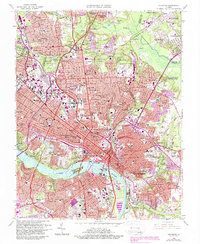
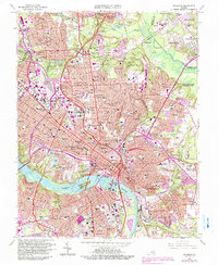
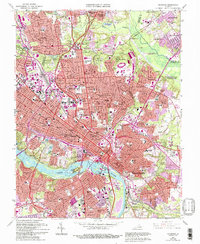
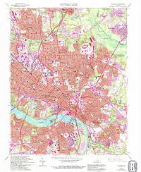
The James River anchors this detailed survey of Virginia’s capital, capturing the city during a period of significant mid-century suburban expansion and urban density. The urban core is defined by landmarks of state power and education, including the State Capitol, the Medical College of Virginia, and Virginia Union University. Large public greenspaces like Joseph Bryan Park and Maymont Park break the grid, while the sprawling Hollywood Cemetery overlooks the river's northern bank. Industrial and transit arteries are prominently featured, with the Seaboard Coast Line and Chesapeake and Ohio railroads threading through the city and across Mayos Island. To the north and east, the transition from urban to suburban is clear in neighborhoods like Chamberlayne Heights and East Highland Park, while the historic Chickahominy Bluffs mark the northern periphery near the Chickahominy River.
Find a feature on this map
93 named features on this map. Tap any name to fly to it.
Don’t see what you’re looking for? This feature index may not catch every label — zoom into the map to look around manually.
Map Details
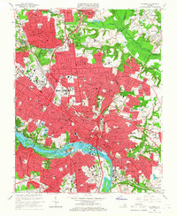
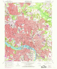
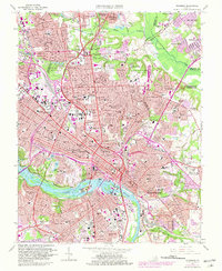
Editions of this 1964 Richmond Map
8 editions found
Other maps of this area

1890 · Goochland
USGS Topo · 1:125,000

1892 · Goochland
USGS Topo · 1:125,000

1894 · Bermuda Hundred
USGS Topo · 1:62,500

1894 · Richmond
USGS Topo · 1:62,500

1895 · Richmond
USGS Topo · 1:62,500

1897 · Amelia
USGS Topo · 1:125,000

1934 · Seven Pines
USGS Topo · 1:24,000

1934 · Richmond
USGS Topo · 1:24,000

1936 · Richmond West
USGS Topo · 1:24,000

1936 · Glen Allen
USGS Topo · 1:24,000