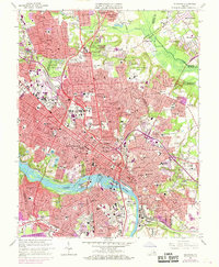
1964 Map of Richmond
USGS Topo · Published 1969About this map
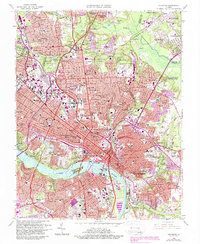
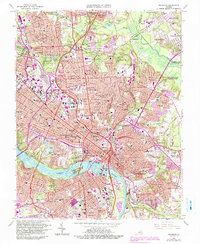
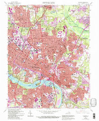
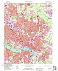
The James River carves through the heart of this mid-century capital, defining the urban topography between Belle Isle and Mayos Island. In the late 1960s, the city’s footprint is intensely developed, showing the expansion of neighborhoods like Windsor Farms and Westover Hills alongside a robust transportation network. The confluence of the Richmond Fredericksburg and Potomac RR, Chesapeake and Ohio RR, and Seaboard Coast Line RR underscores the city's historical role as a rail hub, while a series of modern interchanges, from Interchange 9 to Interchange 17, trace the growth of the highway system.
Find a feature on this map
128 named features on this map. Tap any name to fly to it.
Don’t see what you’re looking for? This feature index may not catch every label — zoom into the map to look around manually.
Map Details
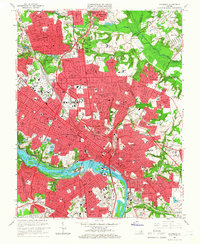
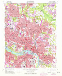
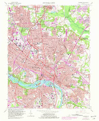
Editions of this 1964 Richmond Map
8 editions found
Other maps of this area

1890 · Goochland
USGS Topo · 1:125,000

1892 · Goochland
USGS Topo · 1:125,000

1894 · Bermuda Hundred
USGS Topo · 1:62,500

1894 · Richmond
USGS Topo · 1:62,500

1895 · Richmond
USGS Topo · 1:62,500

1897 · Amelia
USGS Topo · 1:125,000

1934 · Seven Pines
USGS Topo · 1:24,000

1934 · Richmond
USGS Topo · 1:24,000

1936 · Richmond West
USGS Topo · 1:24,000

1936 · Glen Allen
USGS Topo · 1:24,000