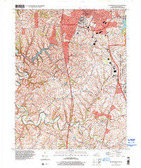
2022 Map of Richmond South
USGS Topo · Published 2022About this map
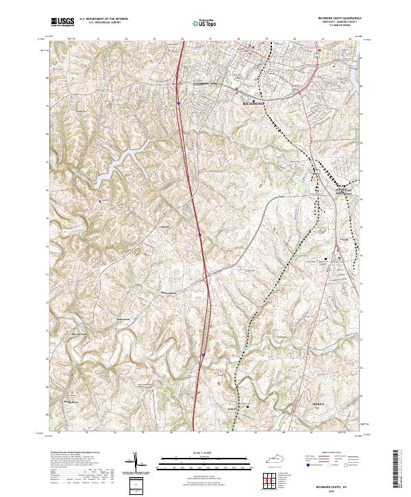
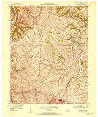
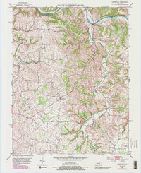
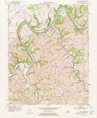
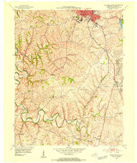
Eastern Kentucky University and the Madison County Courthouse anchor the northern landscape of this Madison County region, where the urban character of Richmond gives way to a network of rural settlements and winding creek valleys. The terrain is defined by the drainage of Silver Creek and its tributaries like Old Town Branch and Ballard Branch, which carve through the undulating topography south of Embry Hill.
Find a feature on this map
47 named features on this map. Tap any name to fly to it.
Don’t see what you’re looking for? This feature index may not catch every label — zoom into the map to look around manually.
Map Details
Editions of this 2022 Richmond South Map
This is the sole edition of this map. No revisions or reprints were ever made.
Historical Maps of Duncanon Through Time
18 maps found
1952 Bighill
Madison County, KY
1952 Kirksville
Madison County, KY
1952 Moberly
Madison County, KY
1952 Richmond North
Madison County, KY
1952 Union City
Madison County, KY
1952 Valley View
Madison County, KY
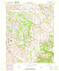
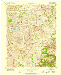
1953 Richmond South
Madison County, KY
1954 Moberly
Madison County, KY
1965 Richmond North
Madison County, KY
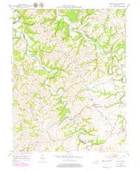
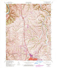
1965 Richmond South
Madison County, KY
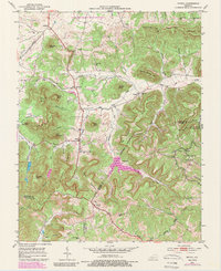
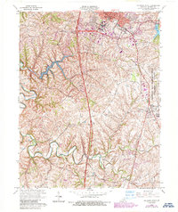
1997 Richmond South
Madison County, KY
2022 Bighill
Madison County, KY
2022 Kirksville
Madison County, KY
2022 Moberly
Madison County, KY
2022 Richmond North
Madison County, KY
2022 Richmond South
Madison County, KY
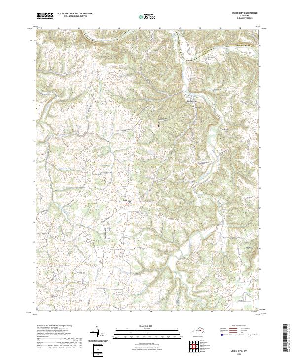
2022 Union City
Madison County, KY
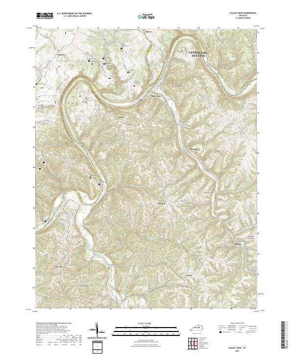
2022 Valley View
Madison County, KY