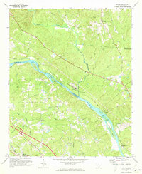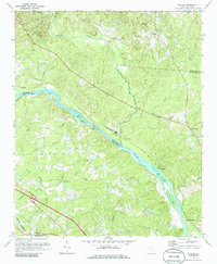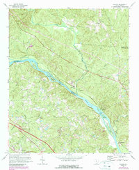
1971 Map of Richtex
USGS Topo · Published 1990This historical map portrays the area of Richtex in 1971, primarily covering Richland County as well as portions of Fairfield County. Featuring a scale of 1:24000, this map provides a highly detailed snapshot of the terrain, roads, buildings, counties, and historical landmarks in the Richtex region at the time. Published in 1990, it is one of 3 known editions of this map due to revisions or reprints.
Map Details
Editions of this 1971 Richtex Map
3 editions found
Historical Maps of Richland County Through Time
21 maps found
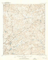
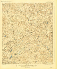
1935 Killian
Richland County, SC
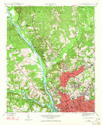
1937 Killian
Richland County, SC
1947 Columbia North
Richland County, SC
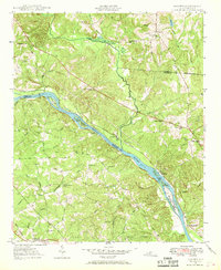
1947 Richtex
Richland County, SC
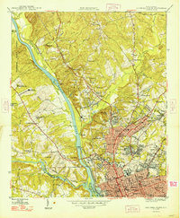
1948 Columbia North
Richland County, SC
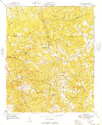
1949 Irmo NE
Richland County, SC
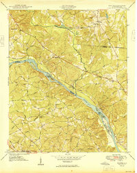
1949 Richtex
Richland County, SC
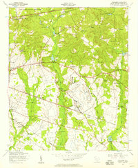
1953 Congaree
Richland County, SC
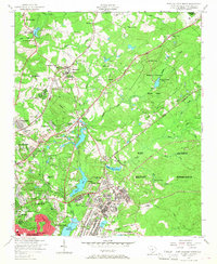
1953 Fort Jackson North
Richland County, SC
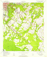
1953 Fort Jackson South
Richland County, SC
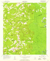
1953 Leesburg
Richland County, SC
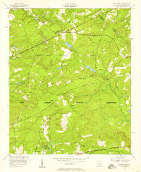
1953 Messers Pond
Richland County, SC
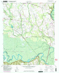
1953 Wateree
Richland County, SC
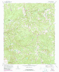
1971 Irmo NE
Richland County, SC

1971 Richtex
Richland County, SC
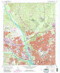
1972 Columbia North
Richland County, SC
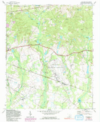
1972 Congaree
Richland County, SC
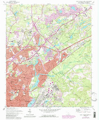
1972 Fort Jackson North
Richland County, SC
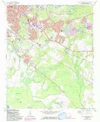
1972 Fort Jackson South
Richland County, SC
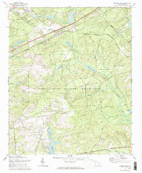
1972 Messers Pond
Richland County, SC
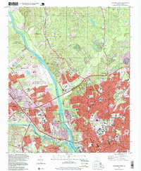
1997 Columbia North
Richland County, SC
