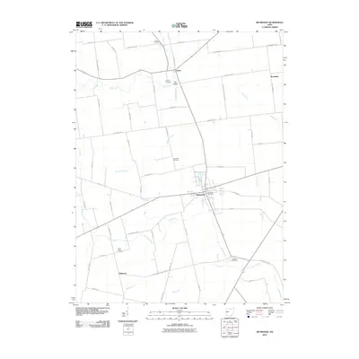
2010 Map of Richwood
USGS Topo · Published 2010About this map
Richwood serves as the central hub of this northern Union County landscape, situated where the Richwood Post Office and Richwood Lake anchor the local community. The surrounding countryside is defined by an orderly grid of family-named roads and a drainage system comprised of Fulton Creek, Rush Creek, and Peacock Run. This pattern of rural land division is deeply connected to the area's history, as seen in the Greenville Treaty Line Rd, which marks a significant historical boundary running north-to-south through the terrain.
Find a feature on this map
59 named features on this map. Tap any name to fly to it.
Don’t see what you’re looking for? This feature index may not catch every label — zoom into the map to look around manually.
Map Details
Editions of this 2010 Richwood Map
This is the sole edition of this map. No revisions or reprints were ever made.
Other maps of this area

1903 · Marion
USGS Topo · 1:62,500

1905 · Marion
USGS Topo · 1:62,500

1913 · Richwood
USGS Topo · 1:62,500

1915 · Richwood
USGS Topo · 1:62,500

1915 · La Rue
USGS Topo · 1:62,500

1924 · Delaware
USGS Topo · 1:62,500

1925 · Delaware
USGS Topo · 1:62,500

1944 · Richwood
USGS Topo · 1:62,500

1944 · Delaware
USGS Topo · 1:62,500

1950 · Marion
USGS Topo · 1:250,000