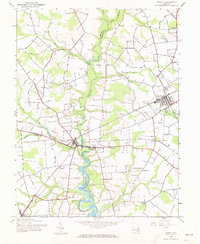
1944 Map of Ridgely
USGS Topo · Published 1973About this map
Tuckahoe Creek serves as a natural boundary dividing the landscape of the Eastern Shore, winding through a region where Queen Anne, Hillsboro, and Thomas Town converge. This 1944 survey reveals a transportation network defined by the Baltimore and Eastern and Pennsylvania railroads, which facilitated the movement of goods and passengers through the agricultural heart of the Delmarva Peninsula. The map highlights the area's river-dependent history with labels for Wayman Wharf and Rolph Landing along the creek. Inland, rural community life centers around local landmarks like Allan Ch, Thawleys Chapel, and the town of Ridgely, which includes a local Racetrack. The presence of small settlements such as Downes, Jumptown, and Tappers Corner illustrates a pattern of crossroads hamlets that supported the surrounding farmland during the mid-20th century.
Find a feature on this map
29 named features on this map. Tap any name to fly to it.
Don’t see what you’re looking for? This feature index may not catch every label — zoom into the map to look around manually.
Map Details
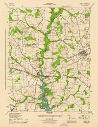
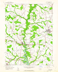
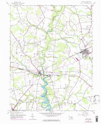
Editions of this 1944 Ridgely Map
4 editions found
Other maps of this area

1898 · Choptank
USGS Topo · 1:125,000

1898 · Tolchester
USGS Topo · 1:125,000

1899 · Dover
USGS Topo · 1:125,000

1901 · Chestertown
USGS Topo · 1:62,500

1903 · Tolchester
USGS Topo · 1:125,000

1904 · St. Michaels
USGS Topo · 1:62,500

1905 · Denton
USGS Topo · 1:62,500

1905 · Barclay
USGS Topo · 1:62,500

1906 · Dover
USGS Topo · 1:125,000

1908 · Tolchester
USGS Topo · 1:125,000