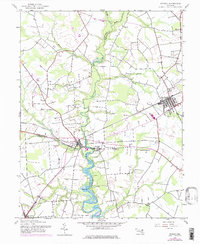
1944 Map of Ridgely
USGS Topo · Published 1976About this map
Tuckahoe Creek carves a serpentine path through the heart of the Eastern Shore, serving as the natural boundary between Queen Anne's, Caroline, and Talbot counties. This mid-century survey illustrates a landscape defined by its agricultural roots and riverine transit points, such as Rolph Landing and Wayman Wharf. The town of Ridgely sits as a primary rail hub, positioned where the Penn Central and Baltimore and Eastern railroads intersect. Smaller communities like Thomas Town and Jumptown are scattered across the interior, connected by a network of rural roads and drainage branches like German Branch and Mason Branch. Significant local landmarks including Allan Ch and Thawleys Chapel offer valuable touchpoints for genealogists tracing family histories in the vicinity of Queen Anne and Hillsboro, while the southern reaches of the map near Cordova show the transition toward the larger Talbot County agricultural tracts.
Find a feature on this map
28 named features on this map. Tap any name to fly to it.
Don’t see what you’re looking for? This feature index may not catch every label — zoom into the map to look around manually.
Map Details
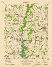
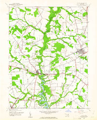
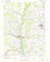
Editions of this 1944 Ridgely Map
4 editions found
Other maps of this area

1898 · Choptank
USGS Topo · 1:125,000

1898 · Tolchester
USGS Topo · 1:125,000

1899 · Dover
USGS Topo · 1:125,000

1901 · Chestertown
USGS Topo · 1:62,500

1903 · Tolchester
USGS Topo · 1:125,000

1904 · St. Michaels
USGS Topo · 1:62,500

1905 · Denton
USGS Topo · 1:62,500

1905 · Barclay
USGS Topo · 1:62,500

1906 · Dover
USGS Topo · 1:125,000

1908 · Tolchester
USGS Topo · 1:125,000