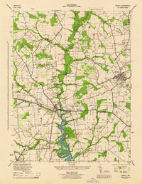
1944 Map of Ridgely
USGS Topo · Published 1944About this map
The Tuckahoe Creek floodplain creates a natural boundary between Queen Anne's, Caroline, and Talbot counties in this mid-century survey. The landscape is defined by the intersection of the Baltimore and Eastern railroad and the river-oriented commerce found at Adolph Landing and Wayman Wharf. The settlement pattern centers on the town of Ridgely and the twin villages of Queen Anne and Hillsboro, which sit just across the water from one another.
Find a feature on this map
42 named features on this map. Tap any name to fly to it.
Don’t see what you’re looking for? This feature index may not catch every label — zoom into the map to look around manually.
Map Details
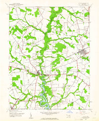
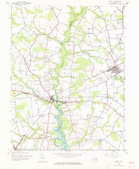
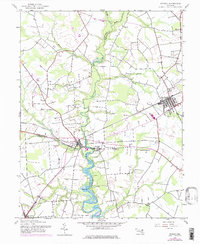
Editions of this 1944 Ridgely Map
4 editions found
Other maps of this area

1898 · Choptank
USGS Topo · 1:125,000

1898 · Tolchester
USGS Topo · 1:125,000

1899 · Dover
USGS Topo · 1:125,000

1901 · Chestertown
USGS Topo · 1:62,500

1903 · Tolchester
USGS Topo · 1:125,000

1904 · St. Michaels
USGS Topo · 1:62,500

1905 · Denton
USGS Topo · 1:62,500

1905 · Barclay
USGS Topo · 1:62,500

1906 · Dover
USGS Topo · 1:125,000

1908 · Tolchester
USGS Topo · 1:125,000