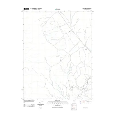
2012 Map of Riepetown
USGS Topo · Published 2012About this map
Kimberly and Riepetown sit within a landscape shaped by significant mining activity in eastern Nevada. The presence of the Kimberly Post Office and the expansive Copper Flat basin reflects the industrial footprint typical of the Robinson mining district. High desert topography is defined by named ridges and peaks, including Rusty Ridge, Pilot Knob, and Jog Along Ridge.
Find a feature on this map
16 named features on this map. Tap any name to fly to it.
Don’t see what you’re looking for? This feature index may not catch every label — zoom into the map to look around manually.
Map Details
Editions of this 2012 Riepetown Map
This is the sole edition of this map. No revisions or reprints were ever made.
Other maps of this area

1952 · Ely
USGS Topo · 1:125,000

1956 · Ely
USGS Topo · 1:250,000

1958 · Ruth
USGS Topo · 1:24,000

1958 · Ely
USGS Topo · 1:62,500

1958 · McGill
USGS Topo · 1:62,500

1958 · Reipetown
USGS Topo · 1:24,000

1958 · Giroux Wash
USGS Topo · 1:24,000

1958 · Ely
USGS Topo · 1:24,000

1959 · Ely
USGS Topo · 1:250,000

1959 · Reipetown
USGS Topo · 1:62,500