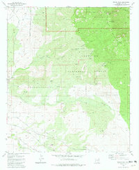
1981 Map of Rincon Peak
USGS Topo · Published 1981About this map
Rincon Mountains topography and high-desert hydrology define this 1981 survey, where the Saguaro National Monument meets the Coronado National Forest. The landscape transitions from the jagged heights of Rincon Peak and Wrong Mountain down to the drainage of Agua Verde Creek. Human presence is marked by isolated outposts like Rancho Del Cielo and the winding Posta Quemada route, while the southwestern corner shows the industrial footprint of a claypit and the Southern Pacific rail line cutting through the Rincon Valley.
Find a feature on this map
38 named features on this map. Tap any name to fly to it.
Don’t see what you’re looking for? This feature index may not catch every label — zoom into the map to look around manually.
Map Details
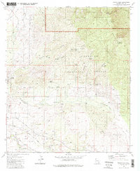
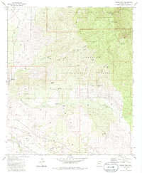
Editions of this 1981 Rincon Peak Map
3 editions found
Other maps of this area

1904 · Patagonia
USGS Topo · 1:125,000

1904 · Tucson
USGS Topo · 1:125,000

1905 · Patagonia
USGS Topo · 1:125,000

1905 · Tucson
USGS Topo · 1:125,000

1915 · Benson
USGS Topo · 1:125,000

1926 · Whetstone
USGS Topo · 1:62,500

1943 · Benson
USGS Topo · 1:125,000

1945 · Happy Valley
USGS Topo · 1:62,500

1956 · Nogales
USGS Topo · 1:250,000

1956 · Tucson
USGS Topo · 1:250,000