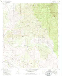
1981 Map of Rincon Peak
USGS Topo · Published 1986About this map
Rincon Peak and Wrong Mountain dominate the eastern reaches of this desert landscape, where the high elevations of the Saguaro Wilderness and Coronado National Forest meet the lowlands of the Rincon Valley. In the early 1980s, the southern portion of the map shows a landscape defined by transportation and resource extraction, with the Southern Pacific railroad and a large industrial Claypit situated near the banks of Cienega Creek.
Find a feature on this map
32 named features on this map. Tap any name to fly to it.
Don’t see what you’re looking for? This feature index may not catch every label — zoom into the map to look around manually.
Map Details
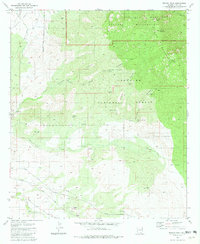
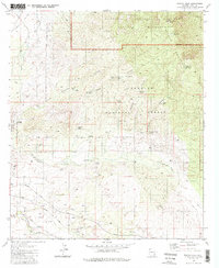
Editions of this 1981 Rincon Peak Map
3 editions found
Other maps of this area

1904 · Patagonia
USGS Topo · 1:125,000

1904 · Tucson
USGS Topo · 1:125,000

1905 · Patagonia
USGS Topo · 1:125,000

1905 · Tucson
USGS Topo · 1:125,000

1915 · Benson
USGS Topo · 1:125,000

1926 · Whetstone
USGS Topo · 1:62,500

1943 · Benson
USGS Topo · 1:125,000

1945 · Happy Valley
USGS Topo · 1:62,500

1956 · Nogales
USGS Topo · 1:250,000

1956 · Tucson
USGS Topo · 1:250,000