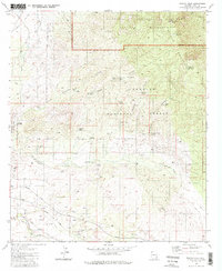
1981 Map of Rincon Peak
USGS Topo · Published 1986About this map
Rincon Peak and the high ridges of the Rincon Mountains dominate this landscape, where the high desert meets steep mountainous terrain. In the northern reaches, the Saguaro Wilderness and Saguaro National Monument protect a rugged expanse of canyons and peaks, including Wrong Mountain and the evocative Valley of the Moon. The land is marked by numerous springs and wells, such as Papago Spring, Chimney Spring, and Coyote Well, which historically supported life in this arid environment.
Find a feature on this map
44 named features on this map. Tap any name to fly to it.
Don’t see what you’re looking for? This feature index may not catch every label — zoom into the map to look around manually.
Map Details
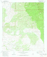
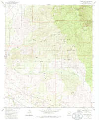
Editions of this 1981 Rincon Peak Map
3 editions found
Other maps of this area

1904 · Patagonia
USGS Topo · 1:125,000

1904 · Tucson
USGS Topo · 1:125,000

1905 · Patagonia
USGS Topo · 1:125,000

1905 · Tucson
USGS Topo · 1:125,000

1915 · Benson
USGS Topo · 1:125,000

1926 · Whetstone
USGS Topo · 1:62,500

1943 · Benson
USGS Topo · 1:125,000

1945 · Happy Valley
USGS Topo · 1:62,500

1956 · Nogales
USGS Topo · 1:250,000

1956 · Tucson
USGS Topo · 1:250,000