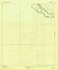
1896 Map of Rio Grande
USGS Topo · Published 1939About this map
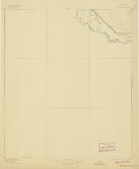
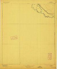
Rio Grande waters define the international boundary in this region, where the river's meandering course separates Texas from Mexico. The landscape is dominated by the strategic corridor of the Southern Pacific R. R. which runs parallel to the river, linking the agricultural settlements of the valley. This 1890s survey, later updated with Reclamation Service data, shows early railroad towns such as Fabens, Tornillo, and Rio Grande during their developmental years. The map preserves the specific benchmarks of the era, including BM 3607 and BM 3570, documenting the exact elevations used for irrigation and rail engineering along the borderlands. The interplay of the river's natural curves and the rigid linear path of the Galveston Harrisburg and San Antonio Division reflects the late 19th-century effort to tame and settle the arid frontier.
Find a feature on this map
10 named features on this map. Tap any name to fly to it.
Don’t see what you’re looking for? This feature index may not catch every label — zoom into the map to look around manually.
Map Details
Editions of this 1896 Rio Grande Map
4 editions found
Other maps of this area

1894 · Fort Hancock
USGS Topo · 1:125,000

1896 · El Paso
USGS Topo · 1:125,000

1896 · Rio Grande
USGS Topo · 1:125,000

1903 · Cerro Alto
USGS Topo · 1:125,000

1908 · El Paso
USGS Topo · 1:125,000

1939 · Ysleta
USGS Topo · 1:62,500

1941 · Clint
USGS Topo · 1:62,500

1941 · Ysleta
USGS Topo · 1:62,500

1941 · Tornillo
USGS Topo · 1:62,500

1942 · Borrego
USGS Topo · 1:62,500