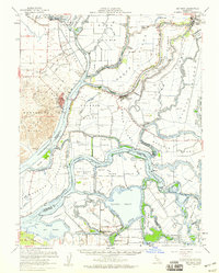
1952 Map of Rio Vista
USGS Topo · Published 1959About this map
Sacramento River and San Joaquin River hydrology dominates this mid-century survey of the California Delta, illustrating a complex landscape of islands and tracts managed by an extensive levee system. The map captures the region during a period of established river-borne commerce and agriculture, where settlements like Isleton and Rio Vista serve as hubs for the surrounding peat-soil lowlands. The intricate network of waterways, including the Mokelumne River and Georgiana Slough, highlights the reliance on water transport, with numerous named points such as Prisoners Point and Oulton Point marking the junctions of these tidal channels.
Find a feature on this map
104 named features on this map. Tap any name to fly to it.
Don’t see what you’re looking for? This feature index may not catch every label — zoom into the map to look around manually.
Map Details
Editions of this 1952 Rio Vista Map
2 editions found
Other maps of this area

1894 · Lodi
USGS Topo · 1:125,000

1896 · Mt. Diablo
USGS Topo · 1:62,500

1898 · Mt. Diablo
USGS Topo · 1:62,500

1907 · Antioch
USGS Topo · 1:62,500

1908 · Vacaville
USGS Topo · 1:62,500

1908 · Courtland
USGS Topo · 1:62,500

1908 · Antioch
USGS Topo · 1:62,500

1910 · New Hope
USGS Topo · 1:31,680

1910 · Rio Vista
USGS Topo · 1:31,680

1910 · Bouldin
USGS Topo · 1:31,680