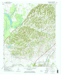
1972 Map of Ripley North
USGS Topo · Published 1974About this map
The bottomlands of western Tennessee meet the rising bluffs in this 1970s record of Lauderdale County. The western edge is defined by the Anderson-Tully State Wildlife Management Area, where the Old Bed Forked Deer River and Chisholm Lake mark the former path of the river system amidst a network of wetlands including Long Pond and Jennings Pond. These low-lying areas contrast sharply with the dissected ridges to the east, where small upland communities like Edith and Central are situated.
Find a feature on this map
35 named features on this map. Tap any name to fly to it.
Don’t see what you’re looking for? This feature index may not catch every label — zoom into the map to look around manually.
Map Details
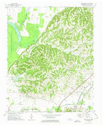
Editions of this 1972 Ripley North Map
2 editions found
Other maps of this area

1939 · Hales Point
USGS Topo · 1:62,500

1939 · Halls
USGS Topo · 1:62,500

1952 · Hales Point
USGS Topo · 1:62,500

1952 · Gates
USGS Topo · 1:24,000

1952 · Fowlkes
USGS Topo · 1:24,000

1956 · Blytheville
USGS Topo · 1:250,000

1959 · Blytheville
USGS Topo · 1:250,000

1961 · Hales Point
USGS Topo · 1:62,500

1961 · Rialto
USGS Topo · 1:62,500

1961 · Halls
USGS Topo · 1:62,500