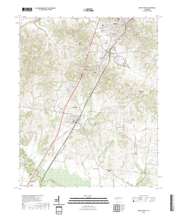
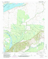
2022 Map of Ripley South
USGS Topo · Published 2022This historical map portrays the area of Ripley South in 2022, primarily covering Lauderdale County as well as portions of Tipton County. Featuring a scale of 1:24000, this map provides a highly detailed snapshot of the terrain, roads, buildings, counties, and historical landmarks in the Ripley South region at the time. Published in 2022, it is the sole known edition of this map.
Find a feature on this map
126 named features on this map. Tap any name to fly to it.
Don’t see what you’re looking for? This feature index may not catch every label — zoom into the map to look around manually.
Map Details
Editions of this 2022 Ripley South Map
This is the sole edition of this map. No revisions or reprints were ever made.
Historical Maps of Hurricane Hill Through Time
13 maps found
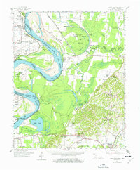
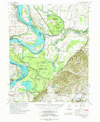
1961 Hales Point
Lauderdale County, TN
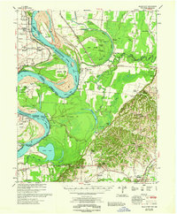
1962 Hales Point
Lauderdale County, TN
1972 Fort Pillow
Lauderdale County, TN
1972 Golddust
Lauderdale County, TN
1972 Open Lake
Lauderdale County, TN
1972 Ripley North
Lauderdale County, TN
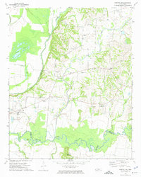
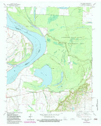
1972 Ripley South
Lauderdale County, TN
1977 Hales Point
Lauderdale County, TN
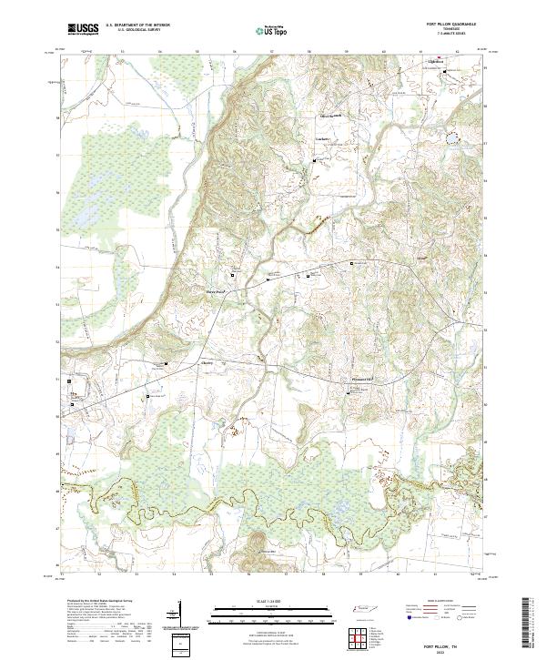
2022 Fort Pillow
Lauderdale County, TN
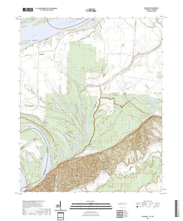
2022 Golddust
Lauderdale County, TN
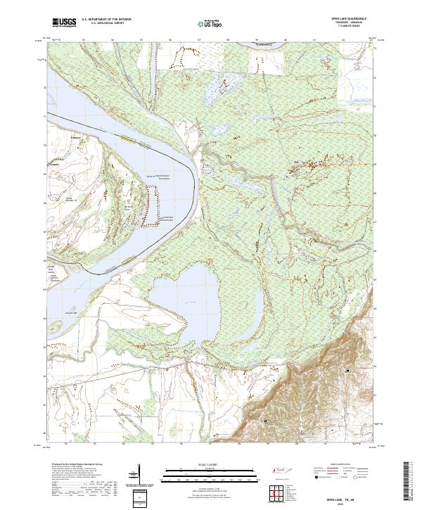
2022 Open Lake
Lauderdale County, TN
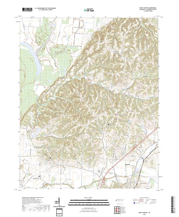
2022 Ripley North
Lauderdale County, TN
2022 Ripley South
Lauderdale County, TN