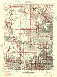
1928 Map of River Forest
USGS Topo · Published 1948About this map
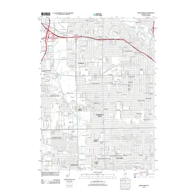
The Des Plaines River carves a winding path through this post-war landscape, acting as a natural divide between the emerging suburban developments and the dense street grids of western Chicago. The map reveals a transition from industrial hubs like Norpaul Yards and the rail corridors of the Chicago Milwaukee St Paul and Pacific RR to the expansive recreational and institutional grounds that define the area's character.
Find a feature on this map
76 named features on this map. Tap any name to fly to it.
Don’t see what you’re looking for? This feature index may not catch every label — zoom into the map to look around manually.
Map Details
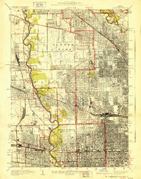
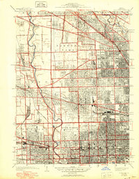
Editions of this 1928 River Forest Map
4 editions found

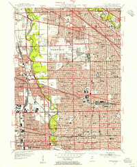
Historical Maps of Chicago Through Time
10 maps found
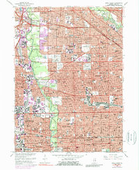
1928 River Forest
Cook County, IL
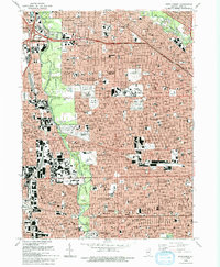
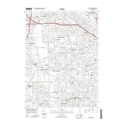
1953 River Forest
Cook County, IL
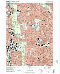
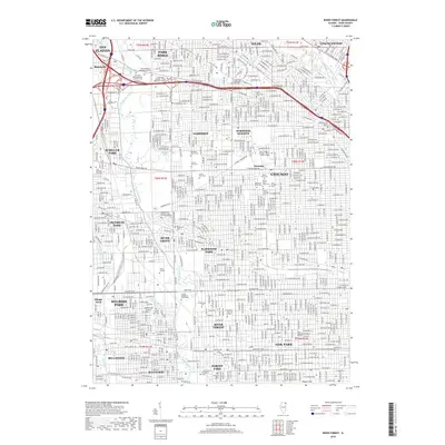
1963 River Forest
Cook County, IL
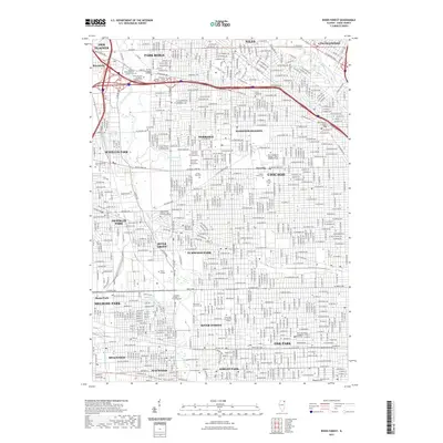
1993 River Forest
Cook County, IL
1997 River Forest
Cook County, IL
2012 River Forest
Cook County, IL
2015 River Forest
Cook County, IL
2018 River Forest
Cook County, IL
2021 River Forest
Cook County, IL
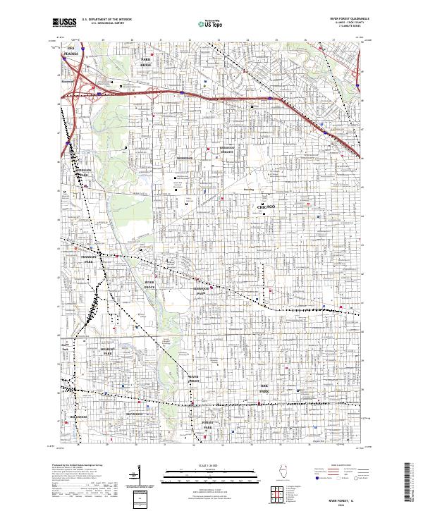
2024 River Forest
Cook County, IL