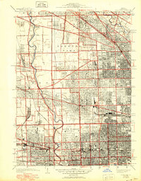
1928 Map of River Forest
USGS Topo · Published 1950About this map
The Des Plaines River winds through the western suburbs of Chicago in this detailed postwar update of 1920s data. The map reveals the dense clustering of cemeteries along the river corridor and the edge of the city, including St. Joseph Cemetery, Acacia Park Cemetery, and Mt. Olive Cemetery. The transition from the urban grid of Oak Park and Dunning to the developing townships of Leyden and Norwood Park illustrates the rapid expansion of Cook County during this era.
Find a feature on this map
59 named features on this map. Tap any name to fly to it.
Don’t see what you’re looking for? This feature index may not catch every label — zoom into the map to look around manually.
Map Details
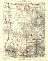
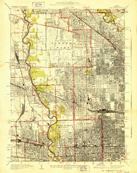
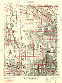
Editions of this 1928 River Forest Map
4 editions found
Other maps of this area

1889 · Chicago
USGS Topo · 1:62,500

1891 · Chicago
USGS Topo · 1:62,500

1891 · Riverside
USGS Topo · 1:62,500

1893 · Riverside
USGS Topo · 1:62,500

1899 · Evanston
USGS Topo · 1:62,500

1900 · Chicago
USGS Topo · 1:62,500

1900 · Riverside
USGS Topo · 1:62,500

1900 · Highwood
USGS Topo · 1:62,500

1901 · Riverside
USGS Topo · 1:62,500

1901 · Chicago
USGS Topo · 1:62,500