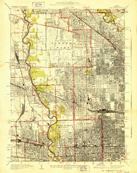
1928 Map of River Forest
USGS Topo · Published 1928About this map
The Des Plaines River carves a winding path through this transitional landscape on the western edge of Chicago during the mid-1920s. This era of rapid suburbanization is visible in the dense grid of Oak Park and Elmwood Park contrasting with the more open acreage of the Leyden and Proviso townships. The map is particularly notable for its concentration of institutional and memorial grounds, including the large State Hospital in Dunning and a vast corridor of burial sites such as Acacia Park Cemetery, St. Joseph Cemetery, and All Saints Cemetery. Heavy rail infrastructure supports the region's growth, with the Norpaul Yards serving as a significant industrial hub. The survey also captures early leisure culture through numerous private clubs like the Oak Park Country Club and Ridgemoor Country Club, alongside educational landmarks like Rosary College.
Find a feature on this map
87 named features on this map. Tap any name to fly to it.
Don’t see what you’re looking for? This feature index may not catch every label — zoom into the map to look around manually.
Map Details
Editions of this 1928 River Forest Map
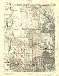
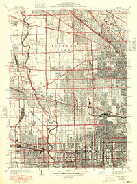
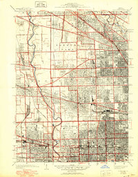
4 editions found
Other maps of this area

1889 · Chicago
USGS Topo · 1:62,500

1891 · Chicago
USGS Topo · 1:62,500

1891 · Riverside
USGS Topo · 1:62,500

1893 · Riverside
USGS Topo · 1:62,500

1899 · Evanston
USGS Topo · 1:62,500

1900 · Chicago
USGS Topo · 1:62,500

1900 · Riverside
USGS Topo · 1:62,500

1900 · Highwood
USGS Topo · 1:62,500

1901 · Riverside
USGS Topo · 1:62,500

1901 · Chicago
USGS Topo · 1:62,500