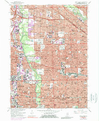
1963 Map of River Forest
USGS Topo · Published 1989About this map
The Des Plaines River corridor serves as a natural spine for this densely developed suburban and urban landscape on the western edge of Chicago. Extensive forest preserves like Robinson Woods North and Thatcher Woods line the river, providing a buffer between the residential grids of River Forest, Elmwood Park, and Maywood. The map reveals a high concentration of institutional landmarks and burial grounds, including the Mount Olive Cemetery, St Joseph Cemetery, and Acacia Cemetery. Transportation networks dominate the infrastructure, with the Soo Line and Chicago and North Western railroads intersecting the grid alongside modern thoroughfares like the Tri-State Tollway and the Eisenhower Exp. Cultural and educational centers are well-represented, from the Maywood Park Racetrack to Dominican College and numerous parochial institutions like Mother Guerin High Sch.
Find a feature on this map
122 named features on this map. Tap any name to fly to it.
Don’t see what you’re looking for? This feature index may not catch every label — zoom into the map to look around manually.
Map Details
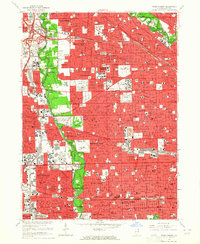
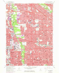
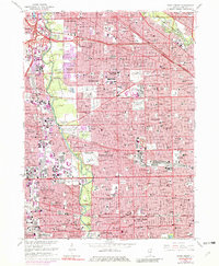
Editions of this 1963 River Forest Map
4 editions found
Other maps of this area

1889 · Chicago
USGS Topo · 1:62,500

1891 · Chicago
USGS Topo · 1:62,500

1891 · Riverside
USGS Topo · 1:62,500

1893 · Riverside
USGS Topo · 1:62,500

1899 · Evanston
USGS Topo · 1:62,500

1900 · Chicago
USGS Topo · 1:62,500

1900 · Riverside
USGS Topo · 1:62,500

1900 · Highwood
USGS Topo · 1:62,500

1901 · Riverside
USGS Topo · 1:62,500

1901 · Chicago
USGS Topo · 1:62,500