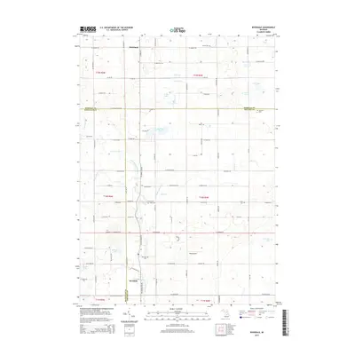
2014 Map of Riverdale
USGS Topo · Published 2014About this map
Riverdale and Strickland anchor this rural landscape in Michigan, where the intersections of Gratiot, Isabella, and Montcalm counties meet. The area is defined by a complex network of waterways, including the Pine River and its North Branch, which meander through a series of natural basins and man-made drains like Bass Lake Drain and Figg Drain. This watery geography is punctuated by numerous small glacial lakes such as Half Moon Lake, LaStrange Lake, and Peterman Lake.
Find a feature on this map
93 named features on this map. Tap any name to fly to it.
Don’t see what you’re looking for? This feature index may not catch every label — zoom into the map to look around manually.
Map Details
Editions of this 2014 Riverdale Map
This is the sole edition of this map. No revisions or reprints were ever made.
Other maps of this area

1916 · Mount Pleasant
USGS Topo · 1:62,500

1919 · Mount Pleasant
USGS Topo · 1:62,500

1930 · Shepherd
USGS Topo · 1:48,000

1935 · Alma
USGS Topo · 1:62,500

1936 · Shepherd
USGS Topo · 1:62,500

1938 · Alma
USGS Topo · 1:62,500

1943 · Mount Pleasant
USGS Topo · 1:62,500

1954 · Midland
USGS Topo · 1:250,000

1958 · Midland
USGS Topo · 1:250,000

1959 · Midland
USGS Topo · 1:250,000