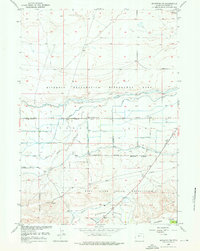
1957 Map of Riverton NE
USGS Topo · Published 1976About this map
The Wind River Indian Reservation and the Riverton Reclamation Withdrawal Area meet in this 1957 study of a highly engineered landscape. The map reveals the intricate water management systems of the era, dominated by the Pilot Canal and the Riverton No 2 Canal, which redirect water through a series of siphons and levees across the Missouri Valley. This network supported the agrarian expansion into the arid basins of Fremont County, transforming natural drainages like Five Mile Creek and Sand Gulch into managed components of a larger irrigation project.
Find a feature on this map
21 named features on this map. Tap any name to fly to it.
Don’t see what you’re looking for? This feature index may not catch every label — zoom into the map to look around manually.
Map Details
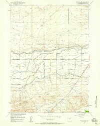
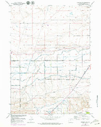
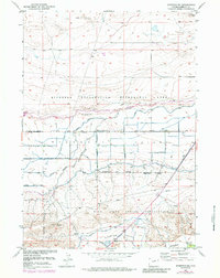
Editions of this 1957 Riverton NE Map
4 editions found
Other maps of this area

1950 · Riverton East
USGS Topo · 1:24,000

1950 · Mexican Pass SW
USGS Topo · 1:24,000

1950 · Bonneville SW
USGS Topo · 1:24,000

1951 · Mexican Pass SE
USGS Topo · 1:24,000

1951 · Indian Butte
USGS Topo · 1:24,000

1951 · Hidden Valley
USGS Topo · 1:24,000

1951 · Riverton West
USGS Topo · 1:24,000

1952 · Riverton NE
USGS Topo · 1:24,000

1952 · Lost Wells Butte
USGS Topo · 1:24,000

1955 · Thermopolis
USGS Topo · 1:250,000