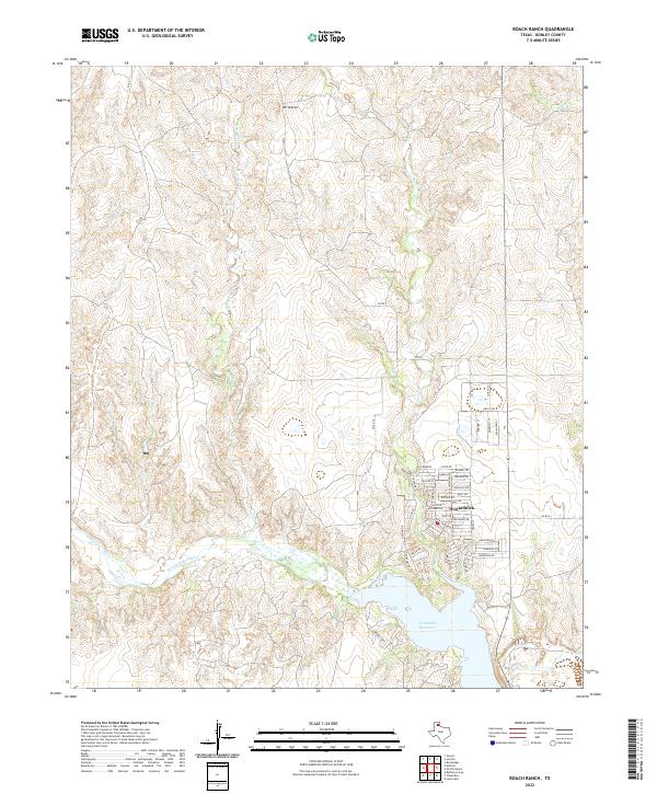
2022 Map of Roach Ranch
USGS Topo · Published 2022About this map
Howardwick sits at the heart of this landscape, a residential area defined by an intricate network of local streets such as Rosemarie Dr and Mollybee Dr. The community is situated just north of the Greenbelt Reservoir, where the shoreline is traced by Greenbelt Way and Ten Bears Trl. This area is shaped by the transition from the high ground of Mt Ararat down toward the winding drainage systems of the Salt Fork Red River.
Find a feature on this map
43 named features on this map. Tap any name to fly to it.
Don’t see what you’re looking for? This feature index may not catch every label — zoom into the map to look around manually.
Map Details
Editions of this 2022 Roach Ranch Map
This is the sole edition of this map. No revisions or reprints were ever made.
Other maps of this area

1954 · Amarillo
USGS Topo · 1:250,000

1954 · Plainview
USGS Topo · 1:250,000

1958 · Amarillo
USGS Topo · 1:250,000

1958 · Plainview
USGS Topo · 1:250,000

1960 · Groom
USGS Topo · 1:62,500

1962 · Lelia Lake
USGS Topo · 1:24,000

1962 · Roach Ranch
USGS Topo · 1:24,000

1962 · Griffin Ranch
USGS Topo · 1:24,000

1963 · Clarendon
USGS Topo · 1:24,000

1963 · Buffalo Arroyo
USGS Topo · 1:24,000